Transport Functions
Rail
Road
Hub Profile
Region
NE
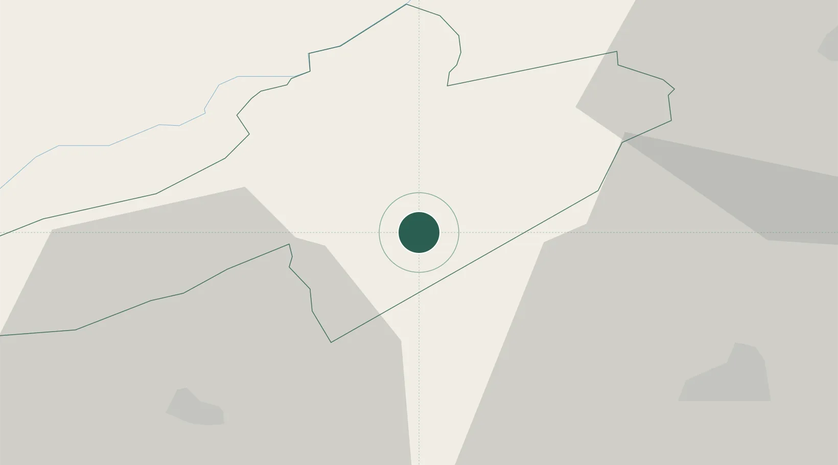
Location
Nearby Logistics Neighbours
Cities
- 1Bevaix3 km
- 2Montbrelloz8 km
- 3Gorgier8 km
- 4Saint-Aubin-Sauges10 km
- 5La Sagne11 km
Ports
- 1Savona320 km
- 2Rada Di Vado324 km
- 3Genova326 km
- 4Chiavari - Lavagna352 km
- 5Imperia353 km
Airports
- 1Payerne Air Base13 km
- 2Les Eplatures Airport16 km
- 3Bern Airport49 km
- 4Grenchen Airfield50 km
- 5Montbéliard-Courcelles Airfield60 km
Trade Zones
- 1PESA - Port-Franc et Entrepôts de Lausanne-Chavornay SA35 km
- 2Port Franc Vevey58 km
- 3ZFU Montbéliard62 km
- 4ZFU Besancon71 km
- 5ZFU Belfort77 km
DatabookThe Record of Consolidated Knowledge
Switzerland beyond logistics?