Transport Functions
Port
Multimodal
Hub Profile
Place type
Populated place
Region
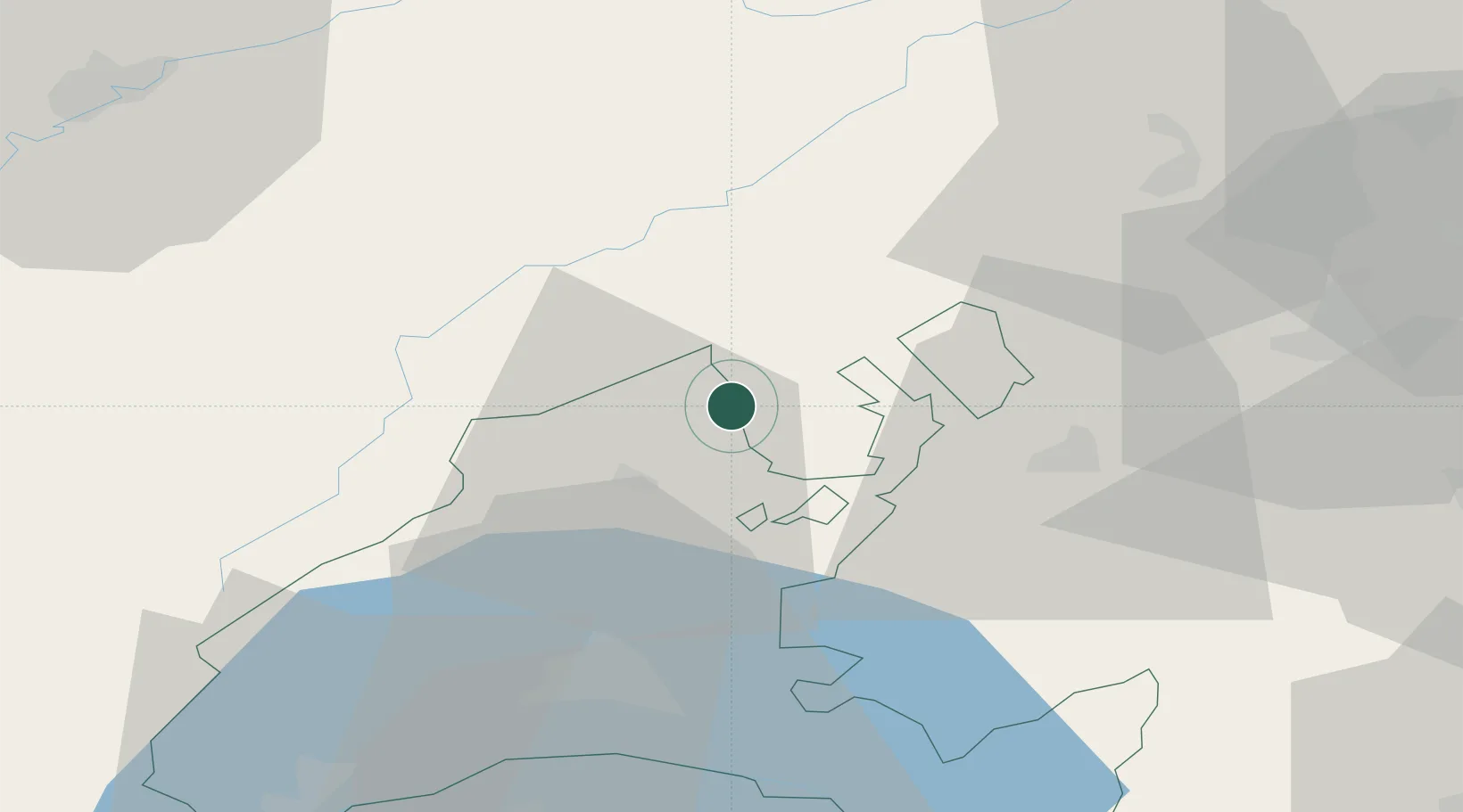
Neuchâtel
Time zone
Europe/Zurich
Elevation
439 m
Location
Nearby Logistics Neighbours
Cities
- 1Saint-Aubin-Sauges2 km
- 2Gorgier4 km
- 3Yvonand7 km
- 4Champagne9 km
- 5Bevaix9 km
Ports
- 1Savona315 km
- 2Rada Di Vado318 km
- 3Genova322 km
- 4Imperia347 km
- 5Chiavari - Lavagna348 km
Airports
- 1Payerne Air Base13 km
- 2Les Eplatures Airport24 km
- 3Bern Airport57 km
- 4Grenchen Airfield62 km
- 5Montbéliard-Courcelles Airfield69 km
Trade Zones
- 1PESA - Port-Franc et Entrepôts de Lausanne-Chavornay SA23 km
- 2Port Franc Vevey47 km
- 3ZFU Besancon70 km
- 4ZFU Montbéliard71 km
- 5ZFU Belfort87 km
DatabookThe Record of Consolidated Knowledge
Switzerland beyond logistics?