Transport Functions
Rail
Road
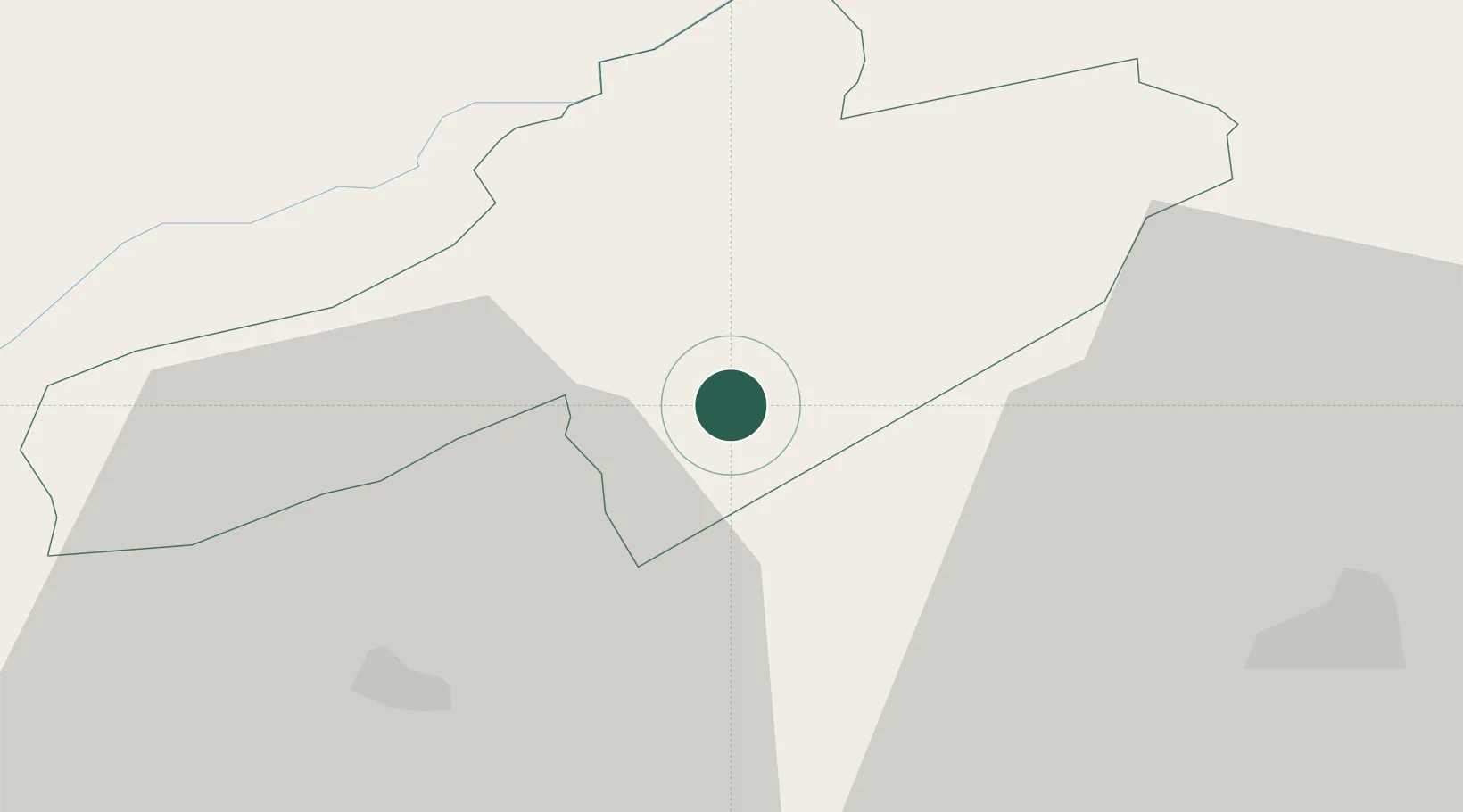
Hub Profile
Place type
Populated place
Region
Neuchâtel
Population
3,866
Time zone
Europe/Zurich
Elevation
472 m
Location
Nearby Logistics Neighbours
Cities
- 1Chambrielien3 km
- 2Gorgier5 km
- 3Saint-Aubin-Sauges7 km
- 4Montbrelloz8 km
- 5Vaumarcus9 km
Ports
- 1Savona319 km
- 2Rada Di Vado323 km
- 3Genova326 km
- 4Chiavari - Lavagna351 km
- 5Imperia352 km
Airports
- 1Payerne Air Base13 km
- 2Les Eplatures Airport17 km
- 3Bern Airport52 km
- 4Grenchen Airfield53 km
- 5Montbéliard-Courcelles Airfield62 km
Trade Zones
- 1PESA - Port-Franc et Entrepôts de Lausanne-Chavornay SA31 km
- 2Port Franc Vevey56 km
- 3ZFU Montbéliard64 km
- 4ZFU Besancon70 km
- 5ZFU Belfort79 km
DatabookThe Record of Consolidated Knowledge
Switzerland beyond logistics?