UN/LOCODE hub · Switzerland
CHBSW

Bütschwil

47.3500°, 9.0667°
2
Transport functions

Transport Functions

Road
Multimodal
UN/LOCODE

Hub Profile

Region
SG
GeoNames

Location

Location of CHBSW
Natural Earth 10m (public domain) · SG · CHBSW · 47.35, 9.07GoogleOSMYandex

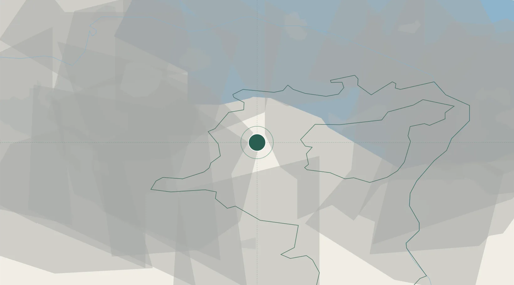
Nearby Logistics Neighbours

Cities
  1. 1Lichtensteig4 km
  2. 2Bazenheid6 km
  3. 3Wattwil6 km
  4. 4Männedorf9 km
  5. 5Niederuzwil10 km
Nearest neighbours — logibook spatial index (haversine) over the source coordinates
Ports
  1. 1Genova328 km
  2. 2Porto Di Lido-Venezia336 km
  3. 3Chiavari - Lavagna339 km
  4. 4Savona340 km
  5. 5Porto Di Chioggia342 km
Nearest neighbours — logibook spatial index (haversine) over the source coordinates
Airports
  1. 1Dübendorf Air Base32 km
  2. 2Sankt Gallen Altenrhein Airport40 km
  3. 3Zürich Airport41 km
  4. 4Bodensee Airport Friedrichshafen49 km
  5. 5Emmen Air Base64 km
Nearest neighbours — logibook spatial index (haversine) over the source coordinates
Trade Zones
  1. 1Livigno Free Trade Zone120 km
  2. 2ZFU Mulhouse137 km
  3. 3ZFU Neuhof164 km
  4. 4Magazzini Generali Con Chiasso168 km
  5. 5ZFU Hautepierre172 km
Nearest neighbours — logibook spatial index (haversine) over the source coordinates
DatabookThe Record of Consolidated Knowledge
Switzerland beyond logistics?
Browse databook

All Sources

LocationsUN/LOCODE
UN/LOCODE — free
Portsthe NGA World Port Index
Public domain (US gov)
AirportsOurAirports
Public domain
Trade Zonesthe World Bank SEZ database
CC BY 4.0
Trade ZonesOpen Zone Map
CC BY
← Switzerland locations