Transport Functions
Rail
Road
Hub Profile
Place type
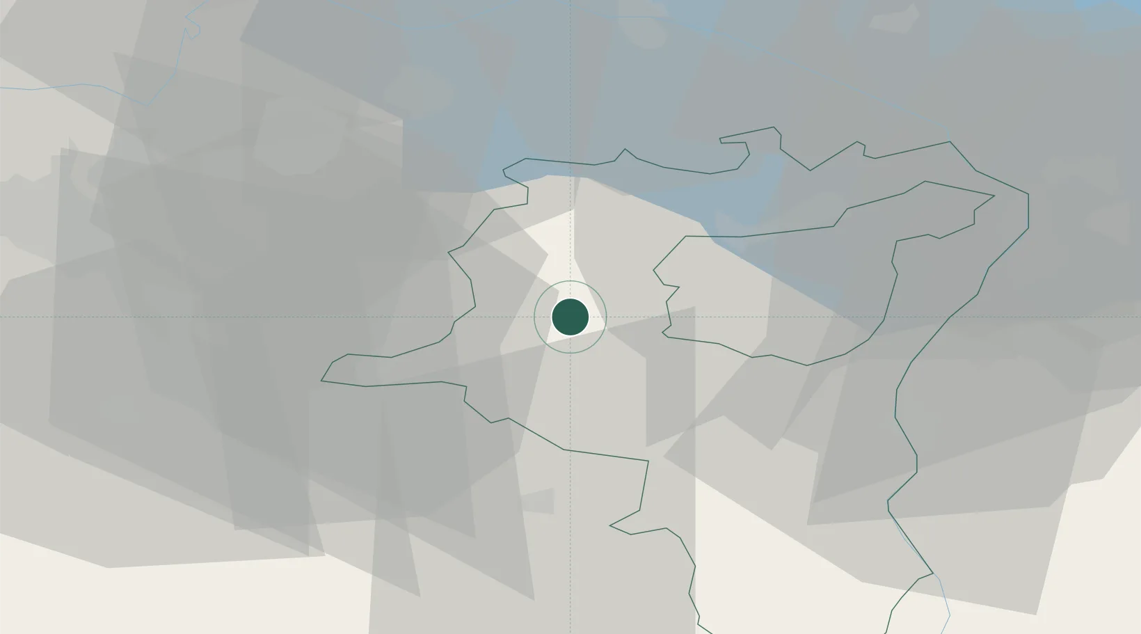
Populated place
Region
Saint Gallen
Population
8,089
Time zone
Europe/Zurich
Elevation
613 m
Location
Nearby Logistics Neighbours
Cities
- 1Lichtensteig2 km
- 2Ebnat-Kappel5 km
- 3Bütschwil6 km
- 4Goldingen10 km
- 5Gommiswald11 km
Ports
- 1Genova323 km
- 2Porto Di Lido-Venezia332 km
- 3Chiavari - Lavagna334 km
- 4Savona335 km
- 5Porto Di Chioggia338 km
Airports
- 1Dübendorf Air Base35 km
- 2Sankt Gallen Altenrhein Airport41 km
- 3Zürich Airport44 km
- 4Bodensee Airport Friedrichshafen52 km
- 5Emmen Air Base63 km
Trade Zones
- 1Livigno Free Trade Zone115 km
- 2ZFU Mulhouse140 km
- 3Magazzini Generali Con Chiasso162 km
- 4ZFU Neuhof169 km
- 5ZFU Montbéliard174 km
DatabookThe Record of Consolidated Knowledge
Switzerland beyond logistics?