UN/LOCODE hub · Switzerland
CHLSG
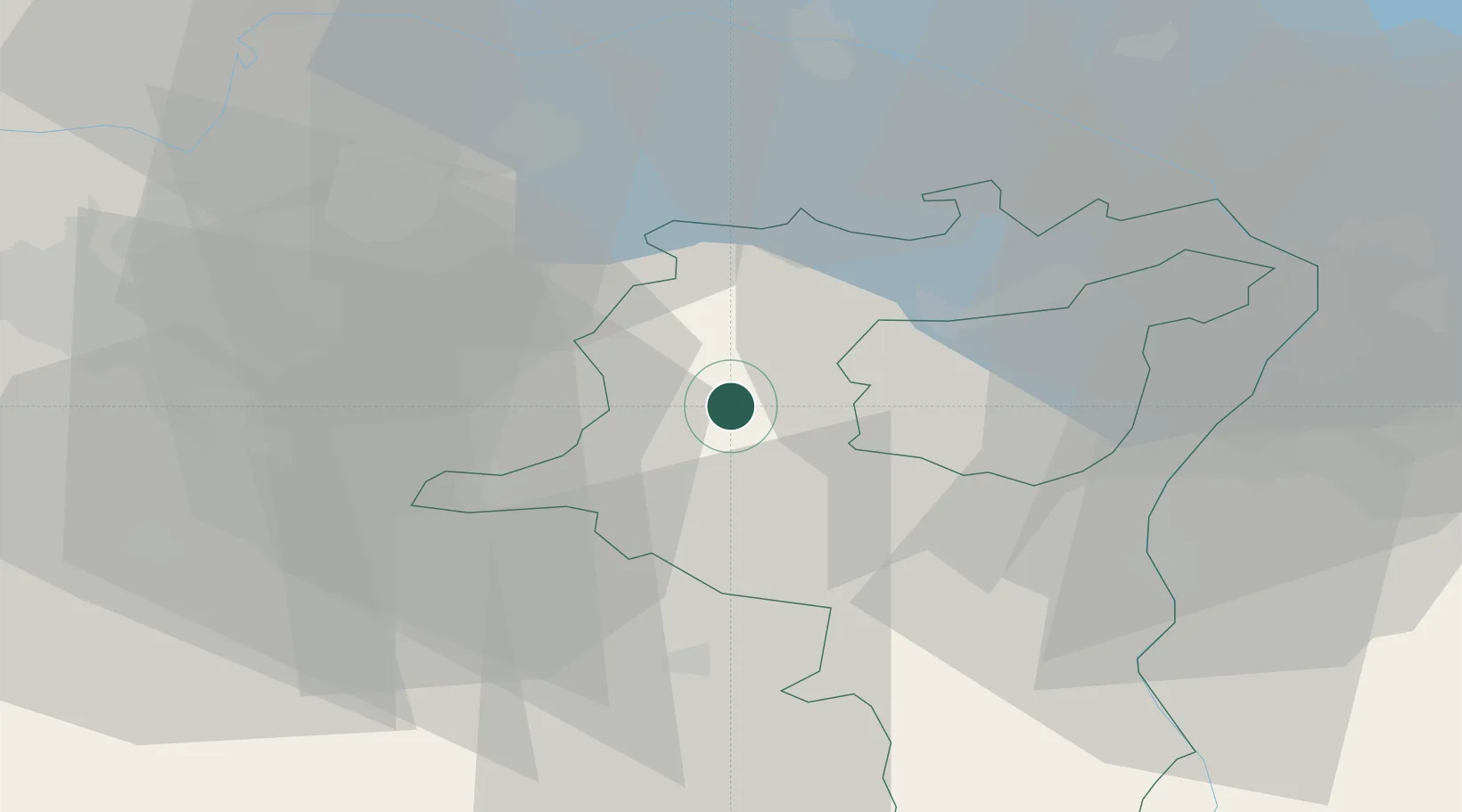
Lichtensteig
47.3167°, 9.0833°
1,870
Population
2
Transport functions
Transport Functions
Rail
Road
Hub Profile
Place type
Provincial seat
Region
Saint Gallen
Population
1,870
Time zone
Europe/Zurich
Elevation
638 m
Location
Nearby Logistics Neighbours
Cities
- 1Wattwil2 km
- 2Bütschwil4 km
- 3Ebnat-Kappel6 km
- 4Bazenheid9 km
- 5Goldingen10 km
Ports
- 1Genova325 km
- 2Porto Di Lido-Venezia333 km
- 3Chiavari - Lavagna335 km
- 4Savona337 km
- 5Porto Di Chioggia339 km
Airports
- 1Dübendorf Air Base34 km
- 2Sankt Gallen Altenrhein Airport41 km
- 3Zürich Airport43 km
- 4Bodensee Airport Friedrichshafen51 km
- 5Emmen Air Base64 km
Trade Zones
- 1Livigno Free Trade Zone116 km
- 2ZFU Mulhouse140 km
- 3Magazzini Generali Con Chiasso164 km
- 4ZFU Neuhof168 km
- 5ZFU Montbéliard174 km
DatabookThe Record of Consolidated Knowledge
Switzerland beyond logistics?