Transport Functions
Multimodal
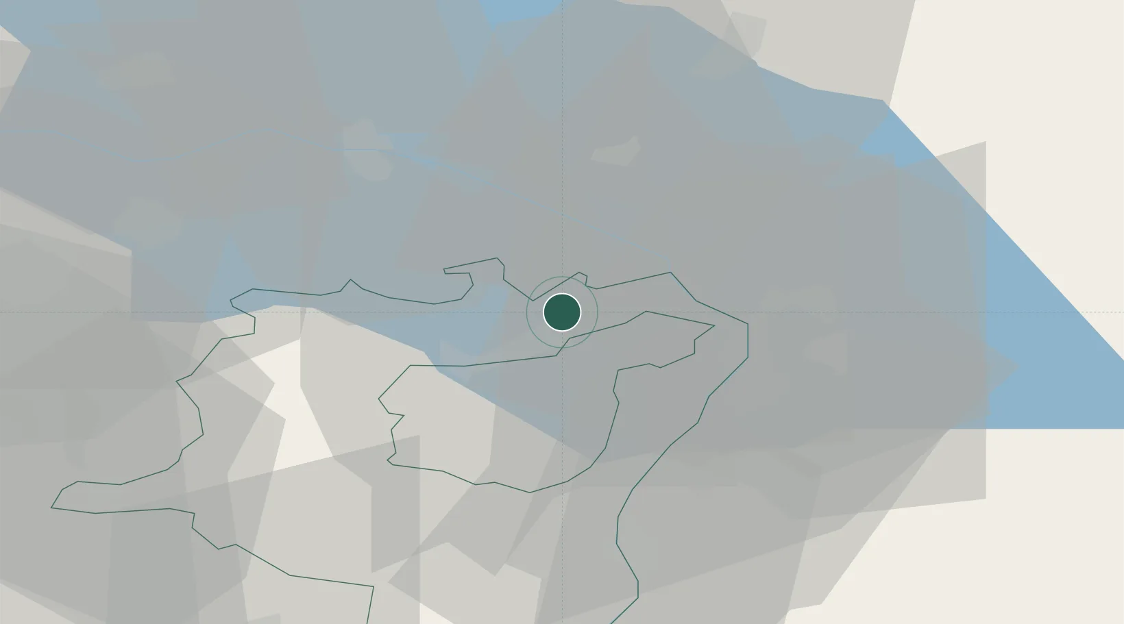
Hub Profile
Place type
Populated place
Region
Saint Gallen
Population
3,496
Time zone
Europe/Zurich
Elevation
541 m
Location
Nearby Logistics Neighbours
Cities
- 1Freidorf2 km
- 2Wittenbach3 km
- 3Goldach4 km
- 4Engelburg7 km
- 5Taufen10 km
Ports
- 1Porto Di Lido-Venezia325 km
- 2Porto Di Chioggia333 km
- 3Genova343 km
- 4Nogaro344 km
- 5Chiavari - Lavagna352 km
Airports
Trade Zones
- 1Livigno Free Trade Zone116 km
- 2ZFU Mulhouse159 km
- 3ZFU Neuhof171 km
- 4ZFU Hautepierre179 km
- 5Magazzini Generali Con Chiasso184 km
DatabookThe Record of Consolidated Knowledge
Switzerland beyond logistics?