Transport Functions
Rail
Road
Hub Profile
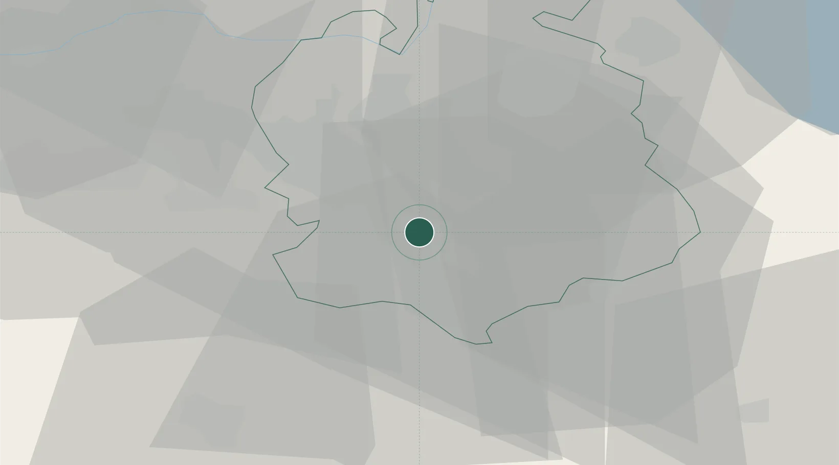
Region
ZH
Location
Nearby Logistics Neighbours
Cities
- 1Erlenbach2 km
- 2Waltikon3 km
- 3Zumikon3 km
- 4Rüschlikon3 km
- 5Feldmeilen5 km
Ports
- 1Genova326 km
- 2Savona334 km
- 3Rada Di Vado340 km
- 4Chiavari - Lavagna340 km
- 5Porto Di Lido-Venezia363 km
Airports
- 1Dübendorf Air Base10 km
- 2Zürich Airport16 km
- 3Emmen Air Base33 km
- 4Alpnach Air Base47 km
- 5Donaueschingen-Villingen Airfield73 km
Trade Zones
- 1ZFU Mulhouse105 km
- 2ZFU Montbéliard137 km
- 3ZFU Belfort139 km
- 4Livigno Free Trade Zone144 km
- 5ZFU Neuhof149 km
DatabookThe Record of Consolidated Knowledge
Switzerland beyond logistics?