Transport Functions
Port
Rail
Road
Hub Profile
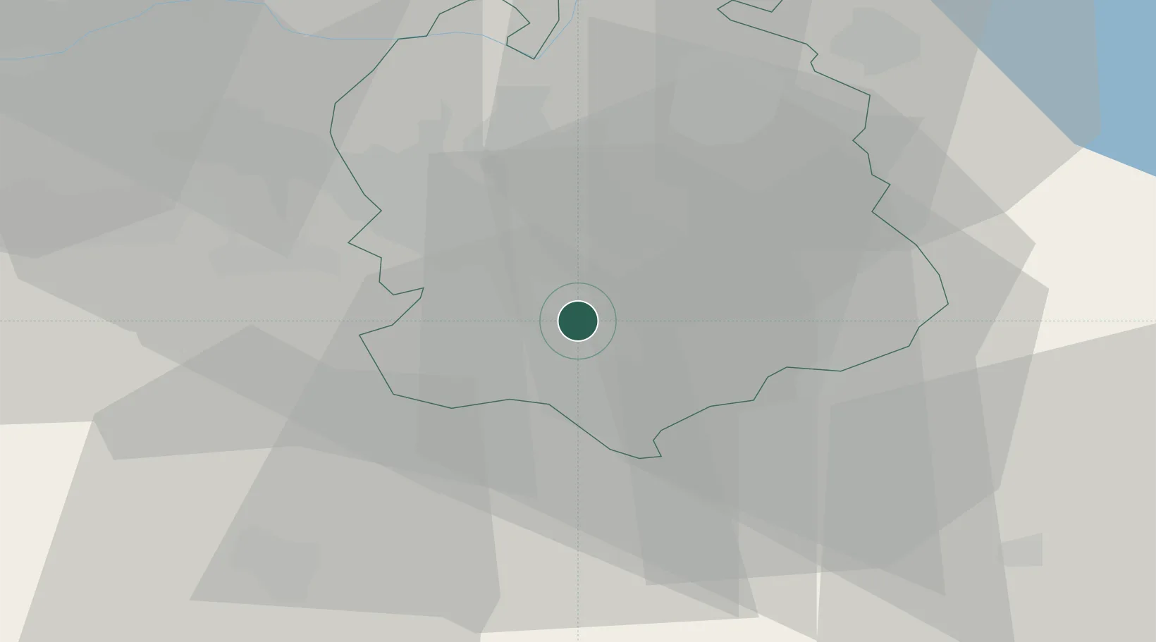
Place type
Populated place
Region
Zurich
Population
4,519
Time zone
Europe/Zurich
Elevation
451 m
Location
Nearby Logistics Neighbours
Cities
- 1Küsnacht2 km
- 2Feldmeilen2 km
- 3Herrliberg2 km
- 4Meilen3 km
- 5Rüschlikon4 km
Ports
- 1Genova324 km
- 2Savona332 km
- 3Rada Di Vado338 km
- 4Chiavari - Lavagna338 km
- 5Porto Di Lido-Venezia361 km
Airports
- 1Dübendorf Air Base12 km
- 2Zürich Airport18 km
- 3Emmen Air Base32 km
- 4Alpnach Air Base46 km
- 5Donaueschingen-Villingen Airfield75 km
Trade Zones
- 1ZFU Mulhouse107 km
- 2ZFU Montbéliard138 km
- 3ZFU Belfort140 km
- 4Livigno Free Trade Zone142 km
- 5ZFU Neuhof151 km
DatabookThe Record of Consolidated Knowledge
Switzerland beyond logistics?