UN/LOCODE hub · Canada
CASHY
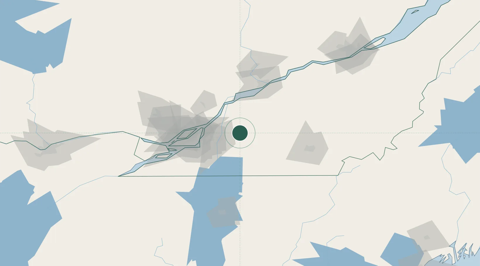
Saint-Hyacinthe
45.6333°, -72.9333°
50,326
Population
2
Transport functions
Transport Functions
Rail
Road
Hub Profile
Place type
Populated place
Region
Quebec
Population
50,326
Time zone
America/Toronto
Elevation
32 m
Location
Nearby Logistics Neighbours
Cities
- 1La Présentation4 km
- 2Saint-Pie15 km
- 3Upton19 km
- 4Saint-Charles-sur-Richelieu20 km
- 5Saint-Hilaire22 km
Ports
- 1Contrecour35 km
- 2Sorel49 km
- 3Montreal50 km
- 4Beauharnois82 km
- 5Trois Rivieres85 km
Airports
Trade Zones
- 1Greater Montreal Free Zone Center51 km
- 2Québec City FTZ185 km
- 3FTZ No. 118 Ogdensburg227 km
- 4FTZ No. 263 Auburn275 km
- 5FTZ No. 186 Waterville281 km
DatabookThe Record of Consolidated Knowledge
Canada beyond logistics?