UN/LOCODE hub · Canada
CARIE

La Présentation

45.6667°, -72.9333°
2
Transport functions

Transport Functions

Road
Multimodal
UN/LOCODE

Hub Profile

Region
QC
GeoNames

Location

Location of CARIE
Natural Earth 10m (public domain) · QC · CARIE · 45.67, -72.93GoogleOSMYandex

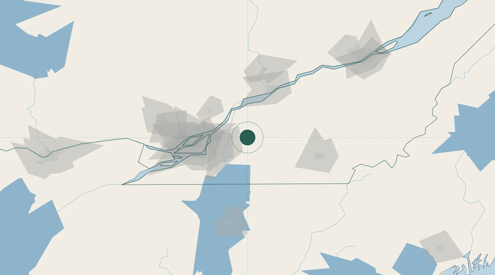
Nearby Logistics Neighbours

Cities
  1. 1Saint-Hyacinthe4 km
  2. 2Saint-Pie19 km
  3. 3Saint-Charles-sur-Richelieu20 km
  4. 4Upton20 km
  5. 5Saint-Hilaire24 km
Nearest neighbours — logibook spatial index (haversine) over the source coordinates
Ports
  1. 1Contrecour32 km
  2. 2Sorel45 km
  3. 3Montreal51 km
  4. 4Trois Rivieres82 km
  5. 5Beauharnois84 km
Nearest neighbours — logibook spatial index (haversine) over the source coordinates
Airports
  1. 1Montréal / Saint-Hubert Metropolitan Airport41 km
  2. 2Bromont (Roland Désourdy) Airport44 km
  3. 3St Jean Airport50 km
  4. 4Montreal / Pierre Elliott Trudeau International Airport67 km
  5. 5Trois-Rivières Airport79 km
Nearest neighbours — logibook spatial index (haversine) over the source coordinates
Trade Zones
  1. 1Greater Montreal Free Zone Center52 km
  2. 2Québec City FTZ183 km
  3. 3FTZ No. 118 Ogdensburg228 km
  4. 4FTZ No. 263 Auburn277 km
  5. 5FTZ No. 186 Waterville283 km
Nearest neighbours — logibook spatial index (haversine) over the source coordinates
DatabookThe Record of Consolidated Knowledge
Canada beyond logistics?
Browse databook

All Sources

LocationsUN/LOCODE
UN/LOCODE — free
Portsthe NGA World Port Index
Public domain (US gov)
AirportsOurAirports
Public domain
Trade Zonesthe World Bank SEZ database
CC BY 4.0
Trade ZonesOpen Zone Map
CC BY
← Canada locations