Transport Functions
Rail
Road
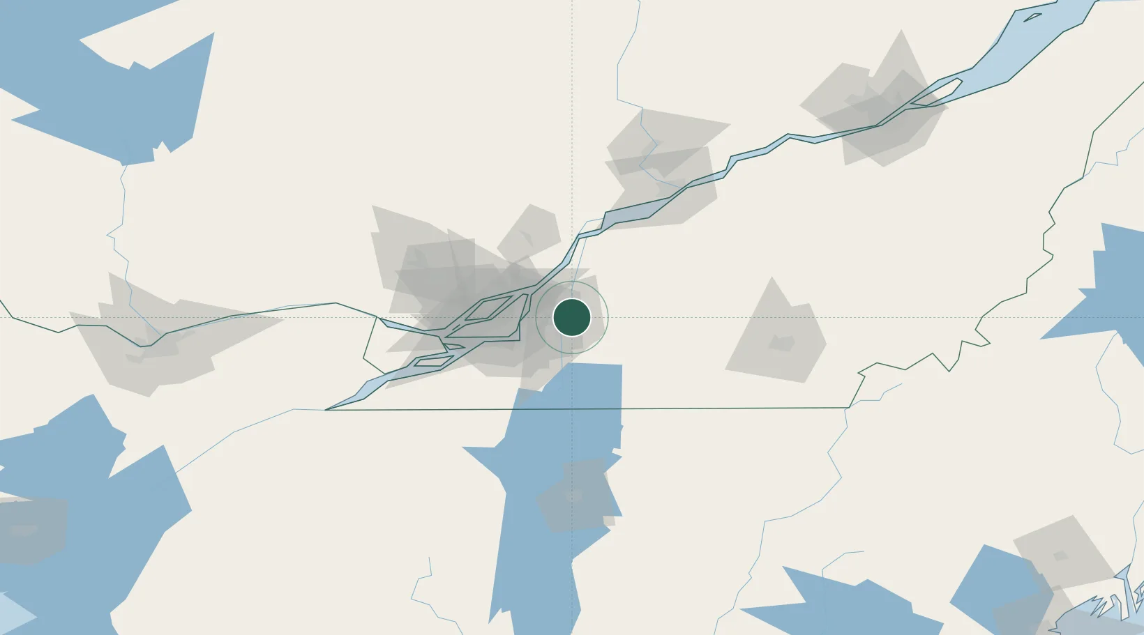
Hub Profile
Place type
Populated place
Region
Quebec
Time zone
America/Toronto
Elevation
21 m
Location
Nearby Logistics Neighbours
Cities
- 1Saint-Charles-sur-Richelieu13 km
- 2Saint-Hubert17 km
- 3Longueuil19 km
- 4Saint-Hyacinthe22 km
- 5La Présentation24 km
Ports
- 1Montreal28 km
- 2Contrecour35 km
- 3Sorel54 km
- 4Beauharnois60 km
- 5Vaudreuil68 km
Airports
Trade Zones
- 1Greater Montreal Free Zone Center29 km
- 2FTZ No. 118 Ogdensburg205 km
- 3Québec City FTZ205 km
- 4FTZ No. 109 Watertown276 km
- 5FTZ No. 263 Auburn287 km
DatabookThe Record of Consolidated Knowledge
Canada beyond logistics?