Transport Functions
Port
Road
Hub Profile
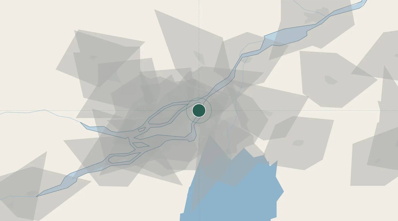
Place type
Populated place
Region
Quebec
Time zone
America/Toronto
Elevation
12 m
Location
Nearby Logistics Neighbours
Cities
- 1Montréal-Est2 km
- 2Longue-Pointe8 km
- 3Longueuil10 km
- 4Terrebonne12 km
- 5Montréal-Nord13 km
Ports
- 1Montreal16 km
- 2Contrecour34 km
- 3Beauharnois48 km
- 4Oka Sur Le Lac51 km
- 5Vaudreuil51 km
Airports
Trade Zones
- 1Greater Montreal Free Zone Center17 km
- 2FTZ No. 118 Ogdensburg190 km
- 3Québec City FTZ216 km
- 4FTZ No. 109 Watertown265 km
- 5FTZ No. 263 Auburn311 km
DatabookThe Record of Consolidated Knowledge
Canada beyond logistics?