UN/LOCODE hub · Canada
CAXJH
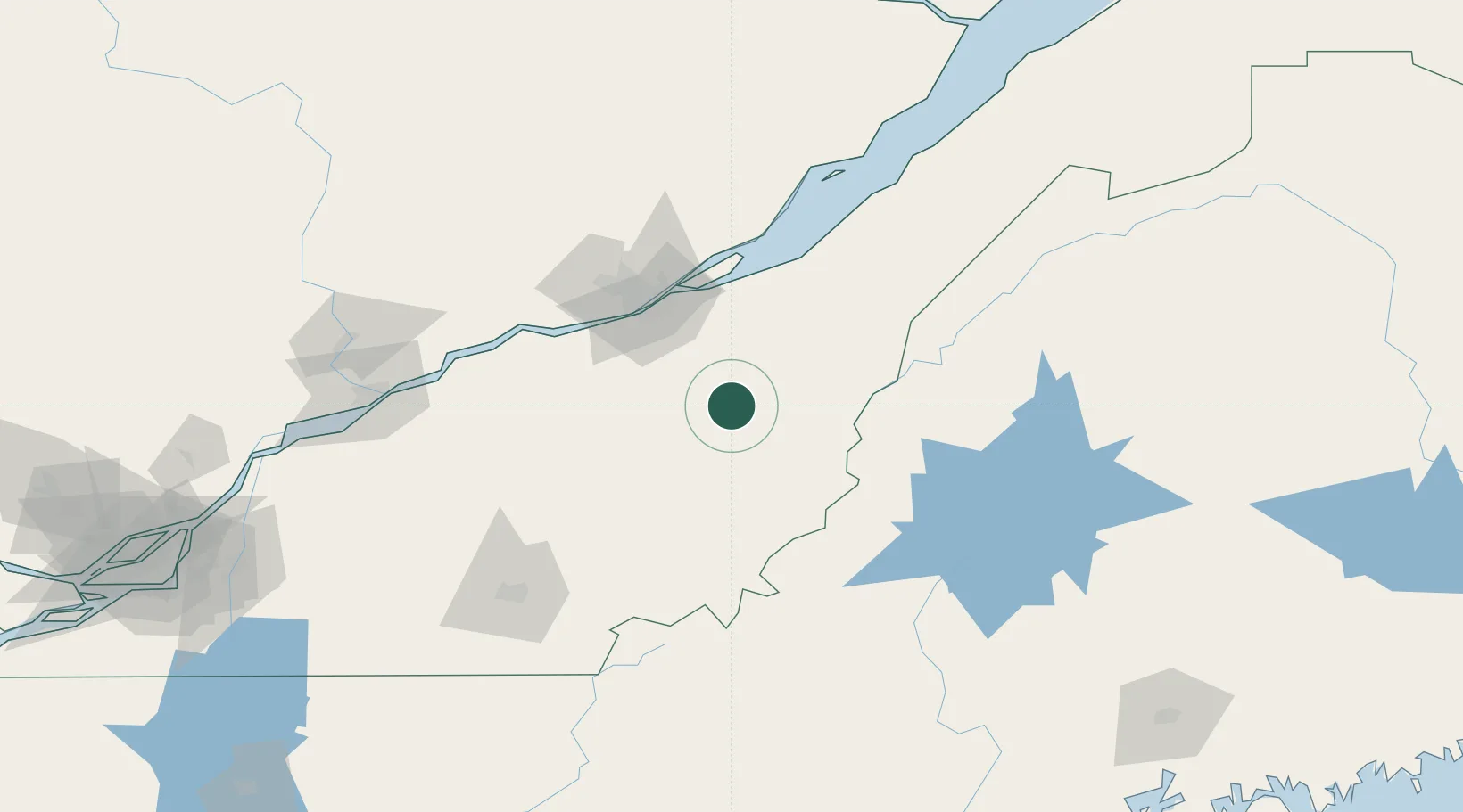
Saint-Joseph-de-Beauce
46.3000°, -70.8667°
5,014
Population
4
Transport functions
Transport Functions
Port
Rail
Road
Multimodal
Hub Profile
Place type
Populated place
Region
Quebec
Population
5,014
Time zone
America/Toronto
Elevation
170 m
Location
Nearby Logistics Neighbours
Cities
- 1Vallée-Jonction8 km
- 2Tring Jonction11 km
- 3Saint-Séverin14 km
- 4Sainte-Marie21 km
- 5Saint-Patrice-de-Beaurivage31 km
Ports
- 1Quebec63 km
- 2Port De Becancour117 km
- 3Trois Rivieres129 km
- 4Sorel176 km
- 5Contrecour186 km
Airports
- 1Saint-Georges Airport26 km
- 2Quebec Jean Lesage International Airport68 km
- 3Sherbrooke Airport115 km
- 4Trois-Rivières Airport139 km
- 5Charlevoix Airport152 km
Trade Zones
- 1Québec City FTZ66 km
- 2FTZ No. 186 Waterville216 km
- 3FTZ No. 179 Madawaska221 km
- 4Greater Montreal Free Zone Center226 km
- 5FTZ No. 058 Bangor230 km
DatabookThe Record of Consolidated Knowledge
Canada beyond logistics?