UN/LOCODE hub · Canada
CAPBG

Saint-Patrice-de-Beaurivage

46.4167°, -71.2333°
2
Transport functions

Transport Functions

Road
Multimodal
UN/LOCODE

Hub Profile

Region
QC
GeoNames

Location

Location of CAPBG
Natural Earth 10m (public domain) · QC · CAPBG · 46.42, -71.23GoogleOSMYandex

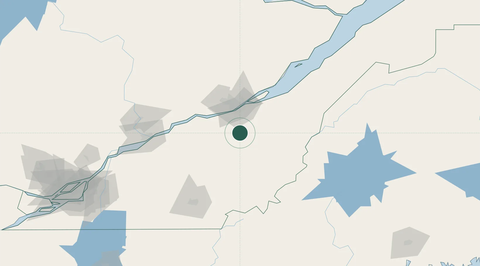
Nearby Logistics Neighbours

Cities
  1. 1Sainte-Marie16 km
  2. 2Saint-Séverin18 km
  3. 3Dosquet22 km
  4. 4Tring Jonction25 km
  5. 5Vallée-Jonction25 km
Nearest neighbours — logibook spatial index (haversine) over the source coordinates
Ports
  1. 1Quebec45 km
  2. 2Port De Becancour88 km
  3. 3Trois Rivieres101 km
  4. 4Sorel151 km
  5. 5Contrecour163 km
Nearest neighbours — logibook spatial index (haversine) over the source coordinates
Airports
  1. 1Quebec Jean Lesage International Airport43 km
  2. 2Saint-Georges Airport54 km
  3. 3Trois-Rivières Airport111 km
  4. 4Sherbrooke Airport114 km
  5. 5Charlevoix Airport152 km
Nearest neighbours — logibook spatial index (haversine) over the source coordinates
Trade Zones
  1. 1Québec City FTZ46 km
  2. 2Greater Montreal Free Zone Center206 km
  3. 3FTZ No. 179 Madawaska240 km
  4. 4FTZ No. 186 Waterville240 km
  5. 5FTZ No. 058 Bangor260 km
Nearest neighbours — logibook spatial index (haversine) over the source coordinates
DatabookThe Record of Consolidated Knowledge
Canada beyond logistics?
Browse databook

All Sources

LocationsUN/LOCODE
UN/LOCODE — free
Portsthe NGA World Port Index
Public domain (US gov)
AirportsOurAirports
Public domain
Trade Zonesthe World Bank SEZ database
CC BY 4.0
Trade ZonesOpen Zone Map
CC BY
← Canada locations