Transport Functions
Rail
Road
Hub Profile
Place type
Populated place
Region
Quebec
Population
13,565
Time zone
America/Toronto
Elevation
159 m
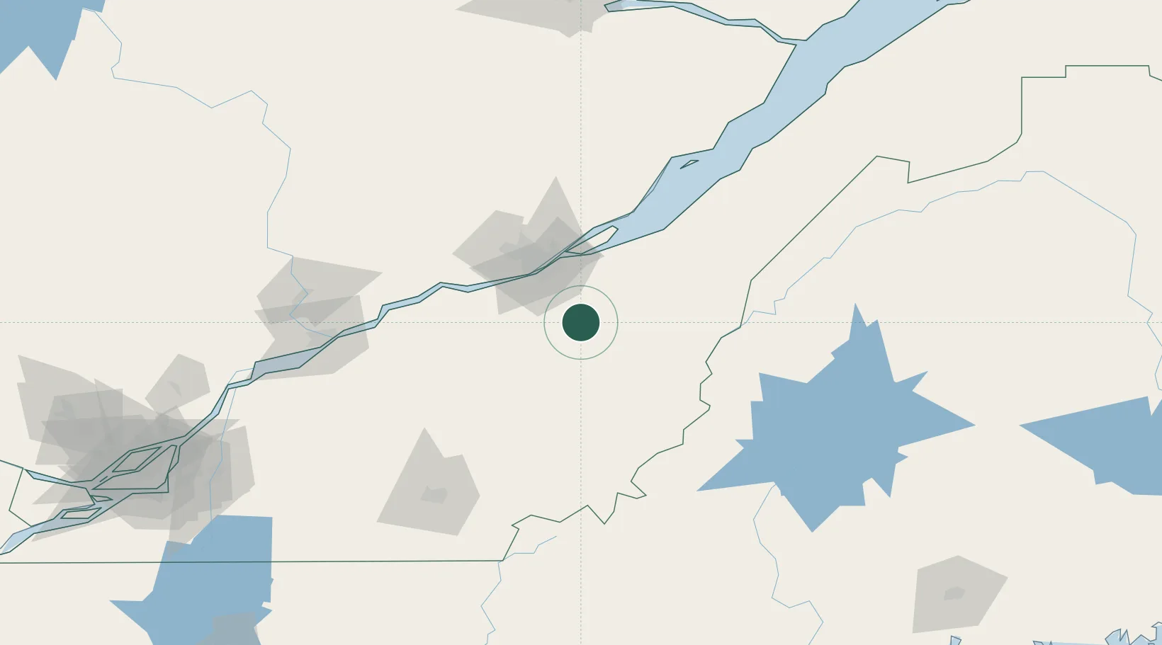
Location
Nearby Logistics Neighbours
Cities
- 1Vallée-Jonction13 km
- 2Saint-Séverin15 km
- 3Saint-Patrice-de-Beaurivage16 km
- 4Tring Jonction21 km
- 5Saint-Joseph-de-Beauce21 km
Ports
- 1Quebec43 km
- 2Port De Becancour104 km
- 3Trois Rivieres117 km
- 4Sorel166 km
- 5Contrecour178 km
Airports
- 1Saint-Georges Airport46 km
- 2Quebec Jean Lesage International Airport47 km
- 3Sherbrooke Airport123 km
- 4Trois-Rivières Airport127 km
- 5Charlevoix Airport142 km
Trade Zones
- 1Québec City FTZ46 km
- 2Greater Montreal Free Zone Center222 km
- 3FTZ No. 179 Madawaska225 km
- 4FTZ No. 186 Waterville236 km
- 5FTZ No. 058 Bangor251 km
DatabookThe Record of Consolidated Knowledge
Canada beyond logistics?