Transport Functions
Port
Road
Multimodal
Hub Profile
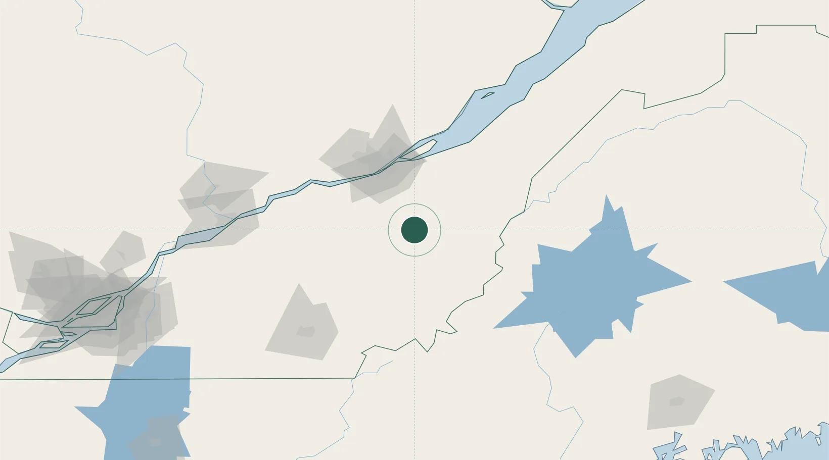
Region
QC
Location
Nearby Logistics Neighbours
Cities
- 1Saint-Séverin7 km
- 2Saint-Joseph-de-Beauce11 km
- 3Vallée-Jonction13 km
- 4Sainte-Marie21 km
- 5Robertsonville22 km
Ports
- 1Quebec63 km
- 2Port De Becancour107 km
- 3Trois Rivieres119 km
- 4Sorel165 km
- 5Contrecour175 km
Airports
- 1Saint-Georges Airport29 km
- 2Quebec Jean Lesage International Airport66 km
- 3Sherbrooke Airport107 km
- 4Trois-Rivières Airport129 km
- 5Charlevoix Airport159 km
Trade Zones
- 1Québec City FTZ66 km
- 2Greater Montreal Free Zone Center215 km
- 3FTZ No. 186 Waterville217 km
- 4FTZ No. 179 Madawaska232 km
- 5FTZ No. 058 Bangor235 km
DatabookThe Record of Consolidated Knowledge
Canada beyond logistics?