UN/LOCODE hub · Canada
CAVAL
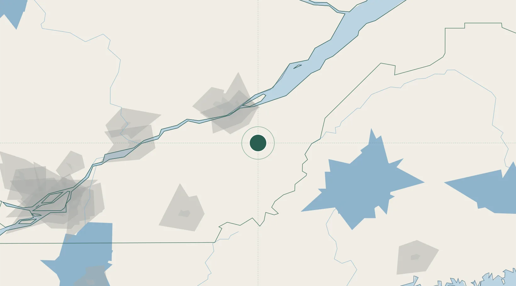
Vallée-Jonction
46.3667°, -70.9167°
1,940
Population
3
Transport functions
Transport Functions
Rail
Road
Multimodal
Hub Profile
Place type
Populated place
Region
Quebec
Population
1,940
Time zone
America/Toronto
Elevation
171 m
Location
Nearby Logistics Neighbours
Cities
- 1Saint-Joseph-de-Beauce8 km
- 2Saint-Séverin12 km
- 3Tring Jonction13 km
- 4Sainte-Marie13 km
- 5Saint-Patrice-de-Beaurivage25 km
Ports
- 1Quebec55 km
- 2Port De Becancour113 km
- 3Trois Rivieres125 km
- 4Sorel173 km
- 5Contrecour184 km
Airports
- 1Saint-Georges Airport34 km
- 2Quebec Jean Lesage International Airport60 km
- 3Sherbrooke Airport119 km
- 4Trois-Rivières Airport135 km
- 5Charlevoix Airport147 km
Trade Zones
- 1Québec City FTZ58 km
- 2FTZ No. 179 Madawaska221 km
- 3FTZ No. 186 Waterville224 km
- 4Greater Montreal Free Zone Center226 km
- 5FTZ No. 058 Bangor238 km
DatabookThe Record of Consolidated Knowledge
Canada beyond logistics?