Transport Functions
Multimodal
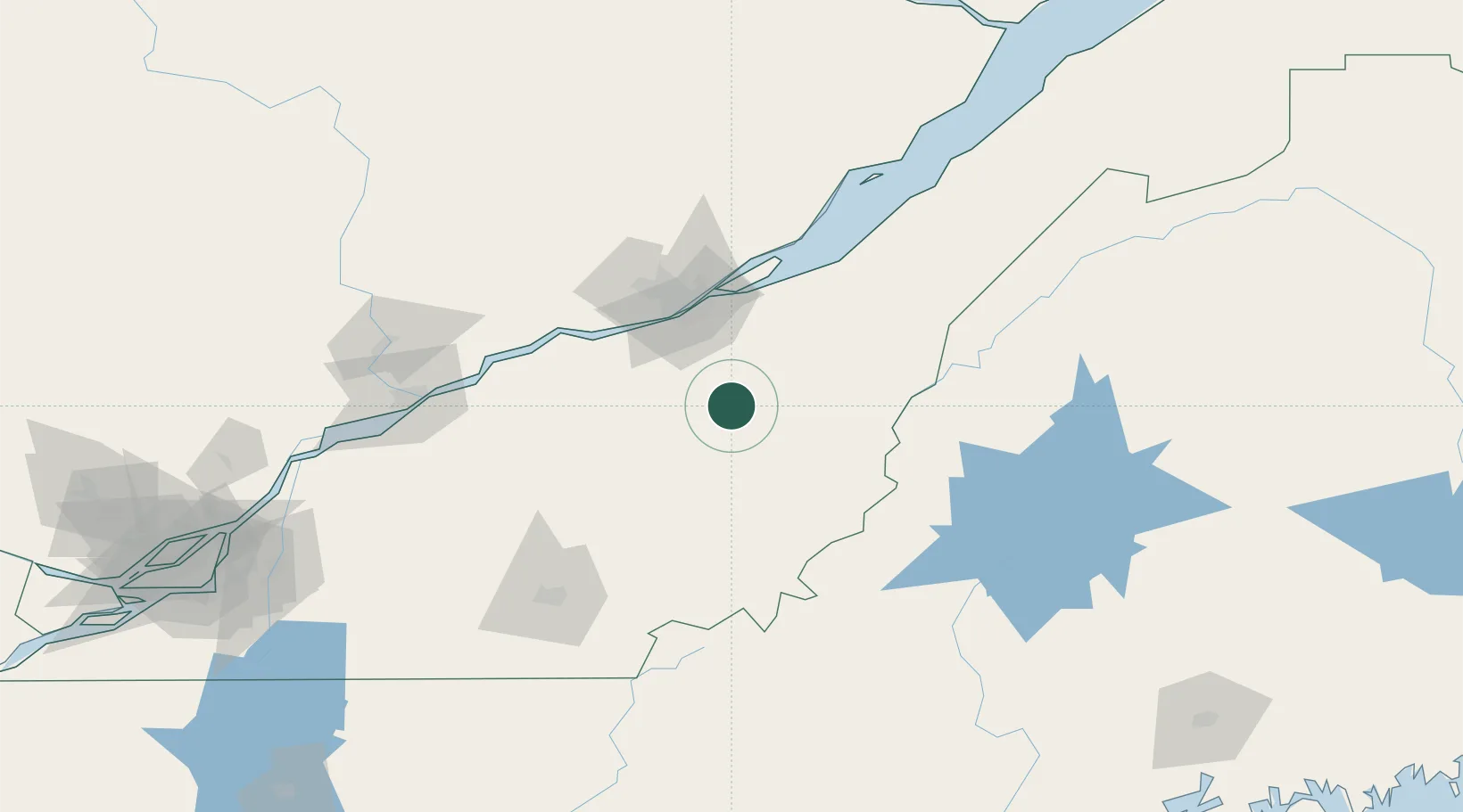
Hub Profile
Region
QC
Location
Nearby Logistics Neighbours
Cities
- 1Tring Jonction7 km
- 2Vallée-Jonction12 km
- 3Saint-Joseph-de-Beauce14 km
- 4Sainte-Marie15 km
- 5Saint-Patrice-de-Beaurivage18 km
Ports
- 1Quebec57 km
- 2Port De Becancour103 km
- 3Trois Rivieres115 km
- 4Sorel162 km
- 5Contrecour173 km
Airports
- 1Saint-Georges Airport36 km
- 2Quebec Jean Lesage International Airport59 km
- 3Sherbrooke Airport110 km
- 4Trois-Rivières Airport125 km
- 5Charlevoix Airport156 km
Trade Zones
- 1Québec City FTZ59 km
- 2Greater Montreal Free Zone Center214 km
- 3FTZ No. 186 Waterville224 km
- 4FTZ No. 179 Madawaska232 km
- 5FTZ No. 058 Bangor242 km
DatabookThe Record of Consolidated Knowledge
Canada beyond logistics?