Transport Functions
Rail
Road
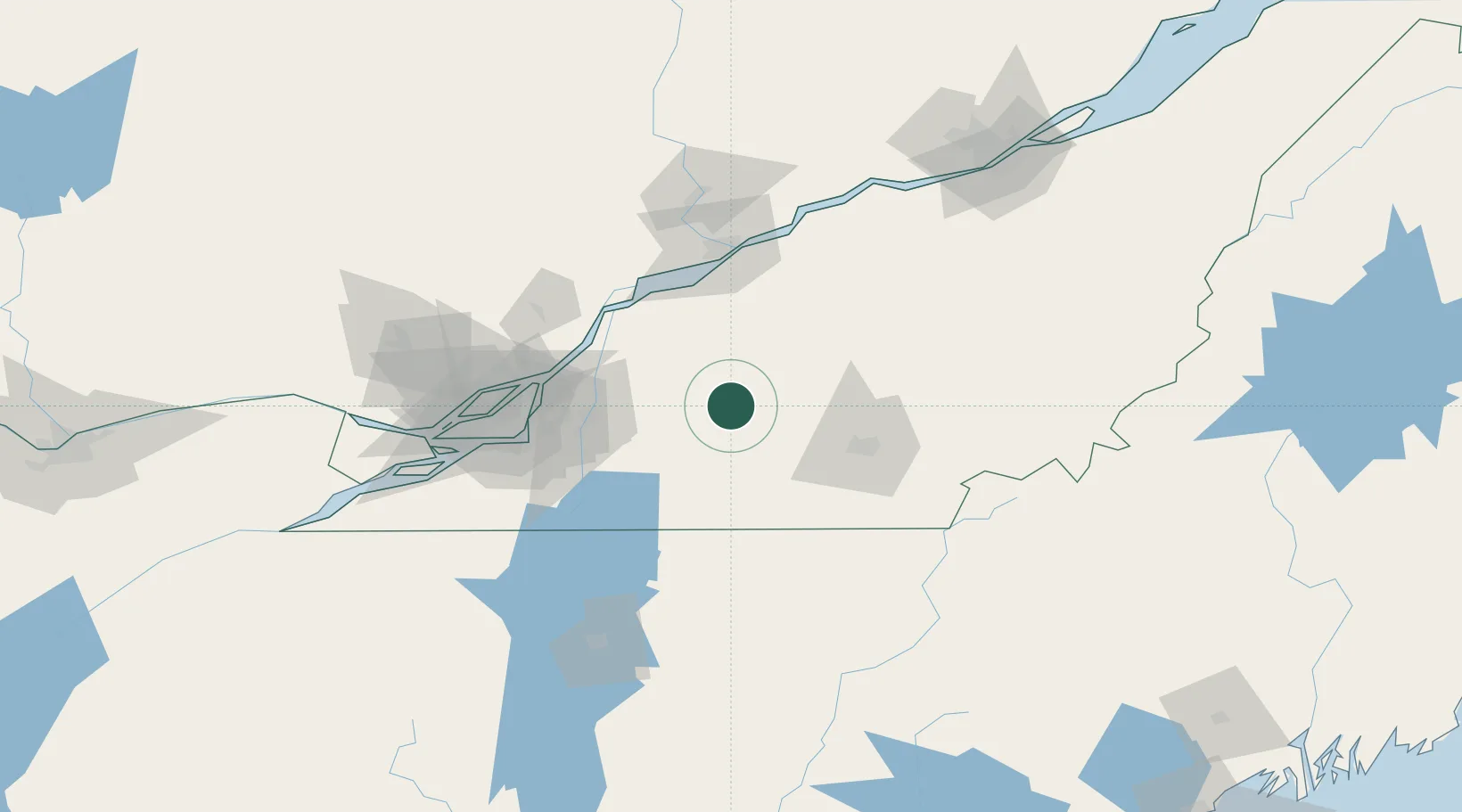
Hub Profile
Place type
Populated place
Region
Quebec
Population
7,656
Time zone
America/Toronto
Elevation
90 m
Location
Nearby Logistics Neighbours
Cities
- 1Roxton Falls4 km
- 2Upton11 km
- 3Valcourt22 km
- 4Lawrenceville26 km
- 5Saint-Germain-de-Grantham26 km
Ports
- 1Contrecour60 km
- 2Sorel67 km
- 3Montreal78 km
- 4Trois Rivieres83 km
- 5Port De Becancour90 km
Airports
Trade Zones
- 1Greater Montreal Free Zone Center79 km
- 2Québec City FTZ169 km
- 3FTZ No. 263 Auburn249 km
- 4FTZ No. 118 Ogdensburg252 km
- 5FTZ No. 186 Waterville253 km
DatabookThe Record of Consolidated Knowledge
Canada beyond logistics?