UN/LOCODE hub · Canada
CAUPT

Upton

45.6333°, -72.6833°
4
Transport functions

Transport Functions

Port
Rail
Road
Multimodal
UN/LOCODE

Hub Profile

Place type
Populated place
GeoNames
Region
Quebec
GeoNames
Time zone
America/Toronto
GeoNames
Elevation
63 m
GeoNames

Location

Location of CAUPT
Natural Earth 10m (public domain) · Quebec · CAUPT · 45.63, -72.68GoogleOSMYandex

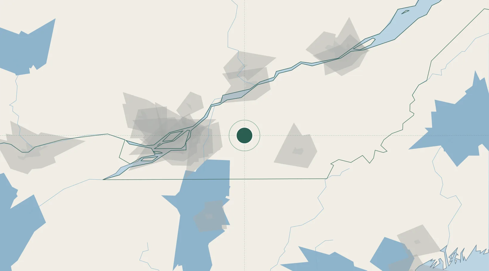
Nearby Logistics Neighbours

Cities
  1. 1Acton Vale11 km
  2. 2Roxton Falls14 km
  3. 3Saint-Hyacinthe19 km
  4. 4La Présentation20 km
  5. 5Saint-Pie23 km
Nearest neighbours — logibook spatial index (haversine) over the source coordinates
Ports
  1. 1Contrecour49 km
  2. 2Sorel57 km
  3. 3Montreal69 km
  4. 4Trois Rivieres80 km
  5. 5Port De Becancour88 km
Nearest neighbours — logibook spatial index (haversine) over the source coordinates
Airports
  1. 1Bromont (Roland Désourdy) Airport38 km
  2. 2Montréal / Saint-Hubert Metropolitan Airport59 km
  3. 3St Jean Airport60 km
  4. 4Trois-Rivières Airport80 km
  5. 5Sherbrooke Airport80 km
Nearest neighbours — logibook spatial index (haversine) over the source coordinates
Trade Zones
  1. 1Greater Montreal Free Zone Center70 km
  2. 2Québec City FTZ173 km
  3. 3FTZ No. 118 Ogdensburg244 km
  4. 4FTZ No. 263 Auburn259 km
  5. 5FTZ No. 186 Waterville264 km
Nearest neighbours — logibook spatial index (haversine) over the source coordinates
DatabookThe Record of Consolidated Knowledge
Canada beyond logistics?
Browse databook

All Sources

LocationsUN/LOCODE
UN/LOCODE — free
Portsthe NGA World Port Index
Public domain (US gov)
AirportsOurAirports
Public domain
Trade Zonesthe World Bank SEZ database
CC BY 4.0
Trade ZonesOpen Zone Map
CC BY
← Canada locations