UN/LOCODE hub · Canada
CASTI

Saint-Pie

45.5000°, -72.9000°
5,438
Population
3
Transport functions

Transport Functions

Rail
Road
Multimodal
UN/LOCODE

Hub Profile

Place type
District seat
GeoNames
Region
Quebec
GeoNames
Population
5,438
GeoNames
Time zone
America/Toronto
GeoNames
Elevation
38 m
GeoNames

Location

Location of CASTI
Natural Earth 10m (public domain) · Quebec · CASTI · 45.50, -72.90GoogleOSMYandex

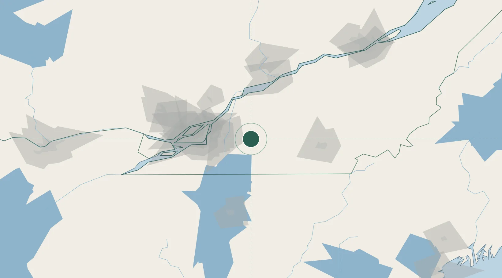
Nearby Logistics Neighbours

Cities
  1. 1Saint-Paul-d'Abbotsford8 km
  2. 2Saint-Hyacinthe15 km
  3. 3La Présentation19 km
  4. 4Upton23 km
  5. 5Saint-Hilaire25 km
Nearest neighbours — logibook spatial index (haversine) over the source coordinates
Ports
  1. 1Contrecour49 km
  2. 2Montreal51 km
  3. 3Sorel63 km
  4. 4Beauharnois79 km
  5. 5Vaudreuil89 km
Nearest neighbours — logibook spatial index (haversine) over the source coordinates
Trade Zones
  1. 1Greater Montreal Free Zone Center52 km
  2. 2Québec City FTZ195 km
  3. 3FTZ No. 118 Ogdensburg223 km
  4. 4FTZ No. 263 Auburn264 km
  5. 5FTZ No. 186 Waterville273 km
Nearest neighbours — logibook spatial index (haversine) over the source coordinates
DatabookThe Record of Consolidated Knowledge
Canada beyond logistics?
Browse databook

All Sources

LocationsUN/LOCODE
UN/LOCODE — free
LocationsGeoNames
CC BY 4.0
Portsthe NGA World Port Index
Public domain (US gov)
AirportsOurAirports
Public domain
Trade Zonesthe World Bank SEZ database
CC BY 4.0
Trade ZonesOpen Zone Map
CC BY
← Canada locations