Transport Functions
Port
Hub Profile
Region
NL
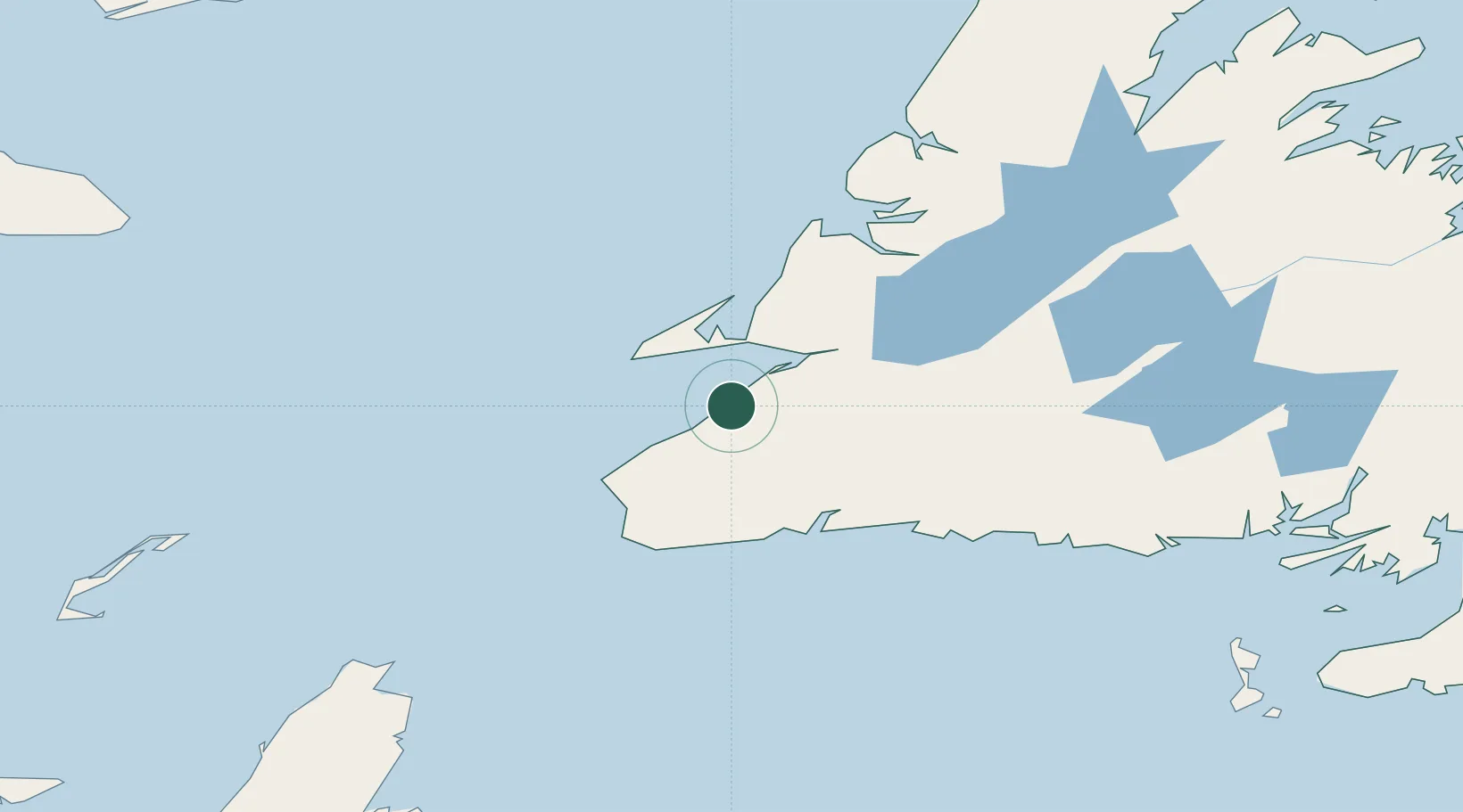
Location
Nearby Logistics Neighbours
Cities
- 1Aguathuna33 km
- 2Lower Cove34 km
- 3Port au Port34 km
- 4Stephenville37 km
- 5Cape Ray79 km
Ports
- 1Stephenville37 km
- 2Port Aux Basques80 km
- 3Corner Brook99 km
- 4Burgeo113 km
- 5Springdale242 km
Airports
Trade Zones
- 1Cape Breton Regional Municipality Foreign Trade Zone275 km
- 2Crossroads Business Park319 km
- 3Halifax Gateway543 km
- 4Saint John646 km
- 5FTZ No. 179 Madawaska722 km
DatabookThe Record of Consolidated Knowledge
Canada beyond logistics?