UN/LOCODE hub · Canada
CAAGU

Aguathuna

48.5500°, -58.7667°
2
Transport functions

Transport Functions

Port
Road
UN/LOCODE

Hub Profile

Region
NL
GeoNames

Location

Location of CAAGU
Natural Earth 10m (public domain) · NL · CAAGU · 48.55, -58.77GoogleOSMYandex

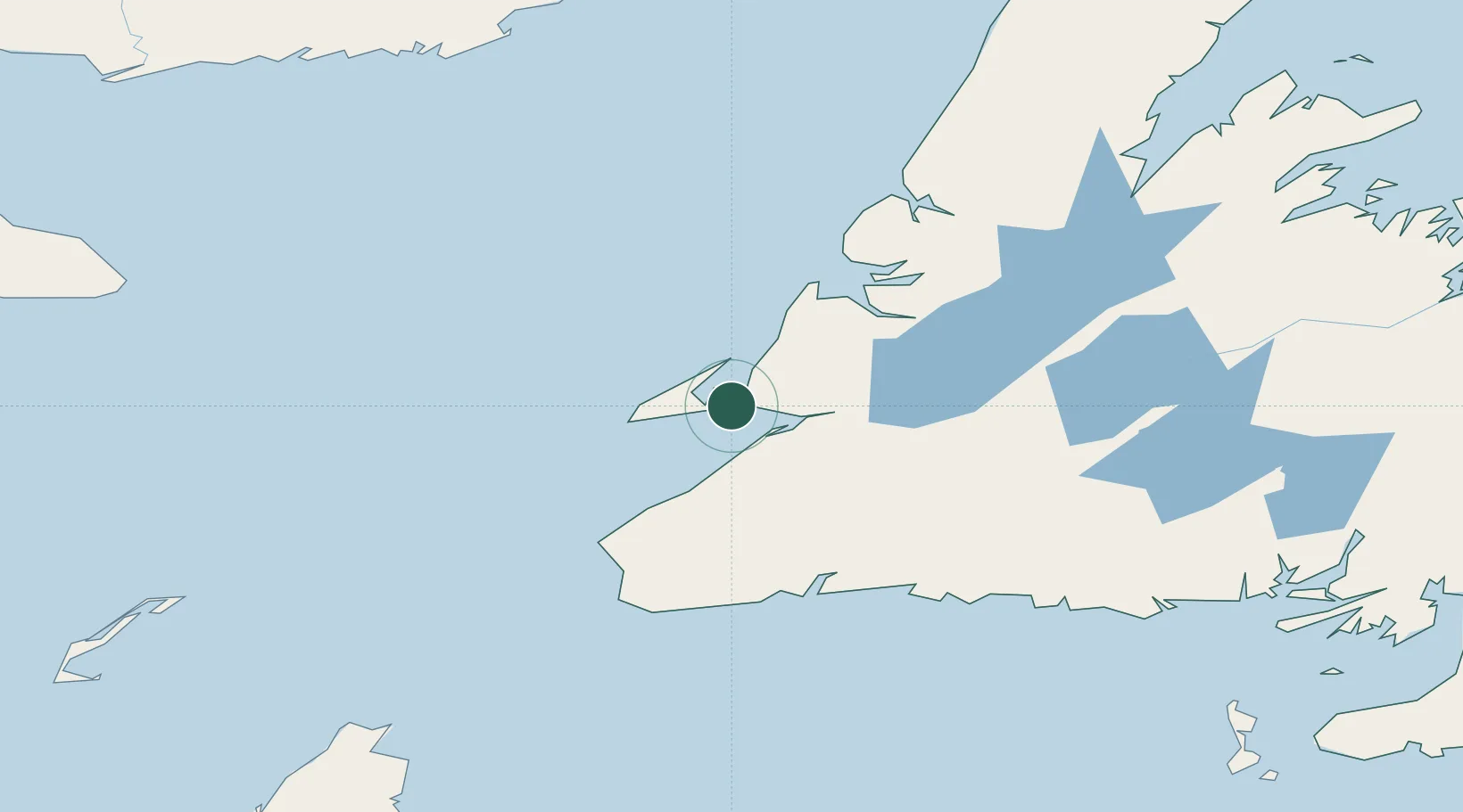
Nearby Logistics Neighbours

Cities
  1. 1Port au Port4 km
  2. 2Stephenville15 km
  3. 3Lower Cove18 km
  4. 4Robinsons33 km
  5. 5Corner Brook76 km
Nearest neighbours — logibook spatial index (haversine) over the source coordinates
Ports
  1. 1Stephenville17 km
  2. 2Corner Brook75 km
  3. 3Port Aux Basques113 km
  4. 4Burgeo135 km
  5. 5Springdale223 km
Nearest neighbours — logibook spatial index (haversine) over the source coordinates
Airports
  1. 1Stephenville Dymond International Airport16 km
  2. 2Deer Lake Airport124 km
  3. 3Chevery Airport222 km
  4. 4La Romaine Airport235 km
  5. 5Tête-à-la-Baleine Airport240 km
Nearest neighbours — logibook spatial index (haversine) over the source coordinates
Trade Zones
  1. 1Cape Breton Regional Municipality Foreign Trade Zone304 km
  2. 2Crossroads Business Park310 km
  3. 3Halifax Gateway568 km
  4. 4Saint John663 km
  5. 5FTZ No. 179 Madawaska727 km
Nearest neighbours — logibook spatial index (haversine) over the source coordinates
DatabookThe Record of Consolidated Knowledge
Canada beyond logistics?
Browse databook

All Sources

LocationsUN/LOCODE
UN/LOCODE — free
Portsthe NGA World Port Index
Public domain (US gov)
AirportsOurAirports
Public domain
Trade Zonesthe World Bank SEZ database
CC BY 4.0
Trade ZonesOpen Zone Map
CC BY
← Canada locations