Transport Functions
Port
Road
Hub Profile
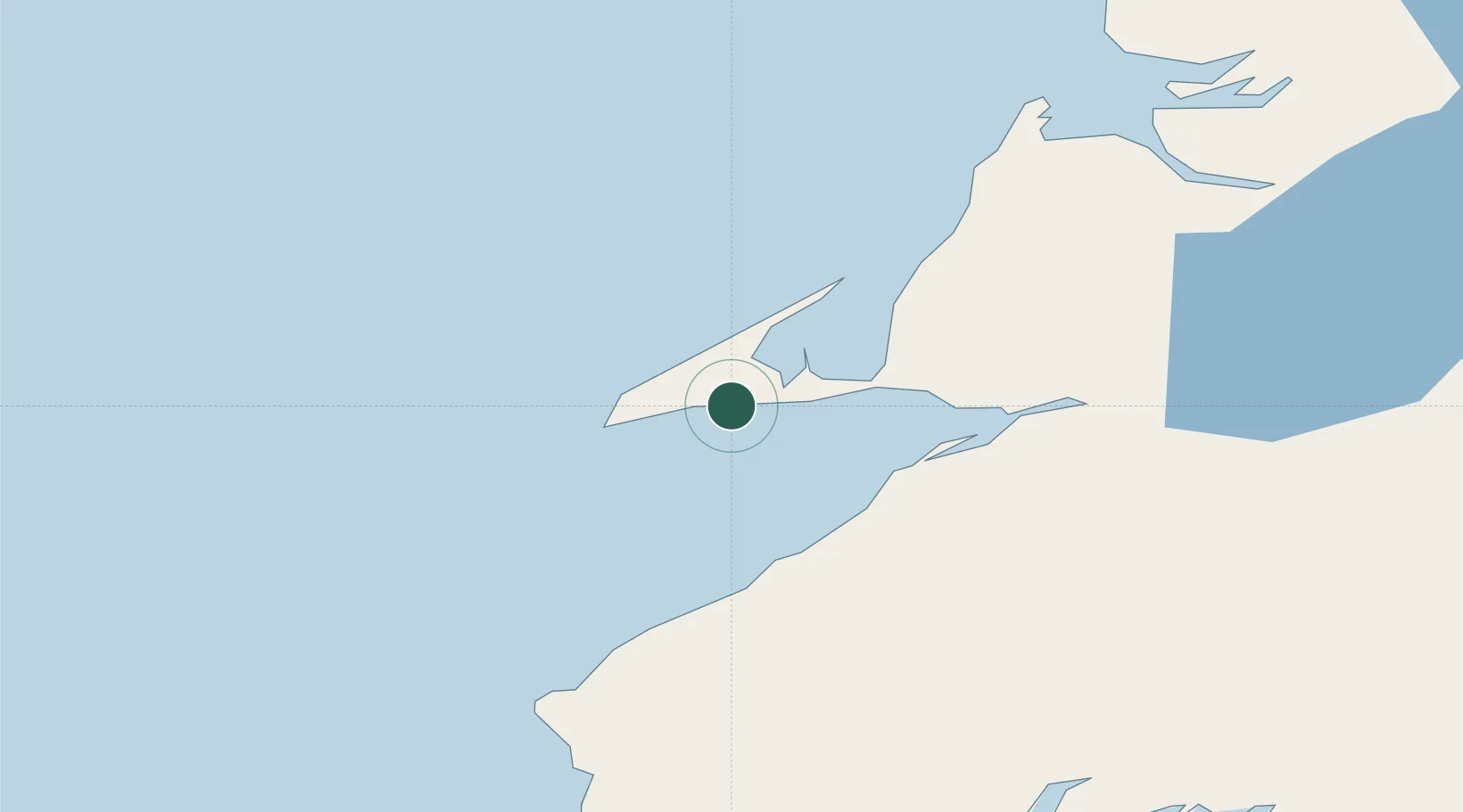
Place type
Populated place
Region
Nova Scotia
Time zone
America/Halifax
Elevation
24 m
Location
Nearby Logistics Neighbours
Cities
- 1Aguathuna18 km
- 2Port au Port21 km
- 3Stephenville32 km
- 4Robinsons34 km
- 5Corner Brook92 km
Ports
- 1Stephenville34 km
- 2Corner Brook91 km
- 3Port Aux Basques106 km
- 4Burgeo144 km
- 5Springdale240 km
Airports
- 1Stephenville Dymond International Airport33 km
- 2Deer Lake Airport140 km
- 3Chevery Airport222 km
- 4La Romaine Airport229 km
- 5Îles-de-la-Madeleine Airport240 km
Trade Zones
- 1Cape Breton Regional Municipality Foreign Trade Zone293 km
- 2Crossroads Business Park328 km
- 3Halifax Gateway554 km
- 4Saint John646 km
- 5FTZ No. 179 Madawaska709 km
DatabookThe Record of Consolidated Knowledge
Canada beyond logistics?