Transport Functions
Port
Road
Hub Profile
Region
NL
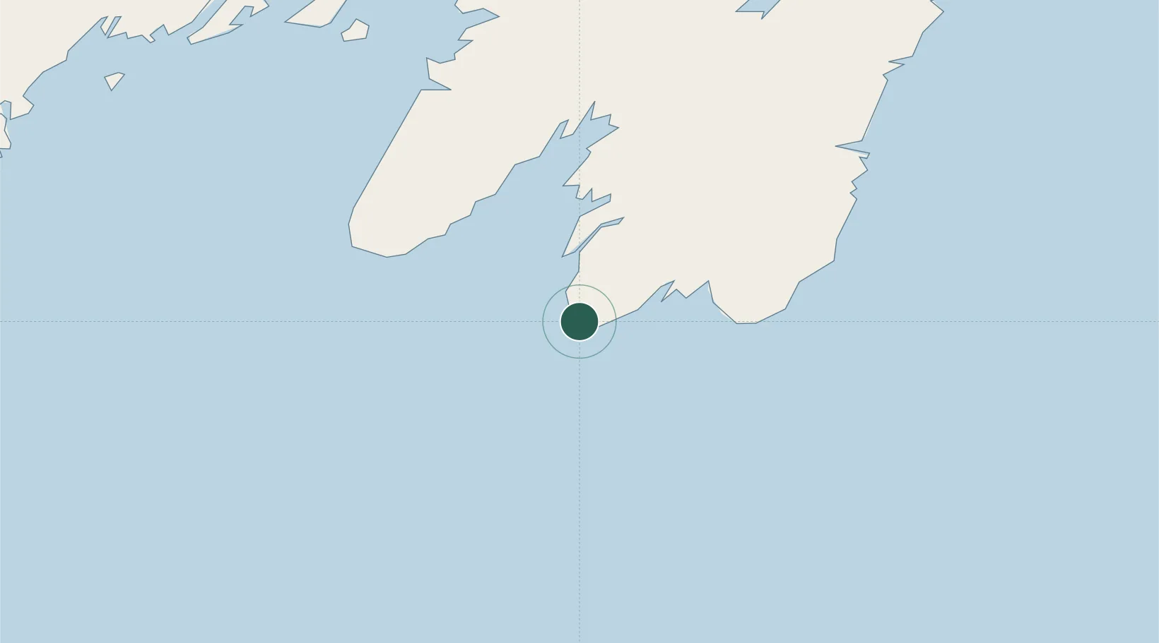
Location
Nearby Logistics Neighbours
Cities
- 1Saint-Marys32 km
- 2Saint-Joseph's54 km
- 3Argentia80 km
- 4Long Harbour90 km
- 5Holyrood91 km
Ports
- 1Argentia80 km
- 2Bay Bulls97 km
- 3Bay Roberts109 km
- 4St John's124 km
- 5Come By Chance Harbor134 km
Airports
- 1St. John's International Airport127 km
- 2Saint-Pierre Pointe-Blanche Airport197 km
- 3Miquelon Airport218 km
- 4Gander International Airport266 km
- 5Fogo Airport340 km
Trade Zones
- 1Crossroads Business Park267 km
- 2Cape Breton Regional Municipality Foreign Trade Zone551 km
- 3Halifax Gateway806 km
- 4Saint John975 km
- 5FTZ No. 179 Madawaska1119 km
DatabookThe Record of Consolidated Knowledge
Canada beyond logistics?