Transport Functions
Port
Road
Hub Profile
Region
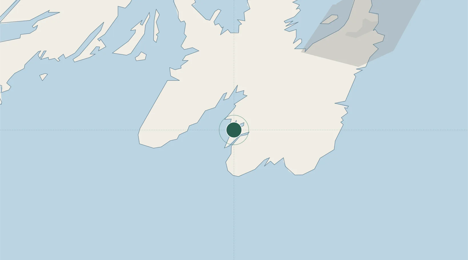
NL
Location
Nearby Logistics Neighbours
Cities
- 1Saint-Joseph's23 km
- 2Saint-Shotts32 km
- 3Argentia53 km
- 4Long Harbour60 km
- 5Holyrood62 km
Ports
- 1Argentia52 km
- 2Bay Bulls73 km
- 3Bay Roberts79 km
- 4St John's98 km
- 5Come By Chance Harbor104 km
Airports
- 1St. John's International Airport100 km
- 2Saint-Pierre Pointe-Blanche Airport198 km
- 3Miquelon Airport213 km
- 4Gander International Airport236 km
- 5Fogo Airport309 km
Trade Zones
- 1Crossroads Business Park238 km
- 2Cape Breton Regional Municipality Foreign Trade Zone554 km
- 3Halifax Gateway815 km
- 4Saint John979 km
- 5FTZ No. 179 Madawaska1116 km
DatabookThe Record of Consolidated Knowledge
Canada beyond logistics?