UN/LOCODE hub · Canada
CAADP

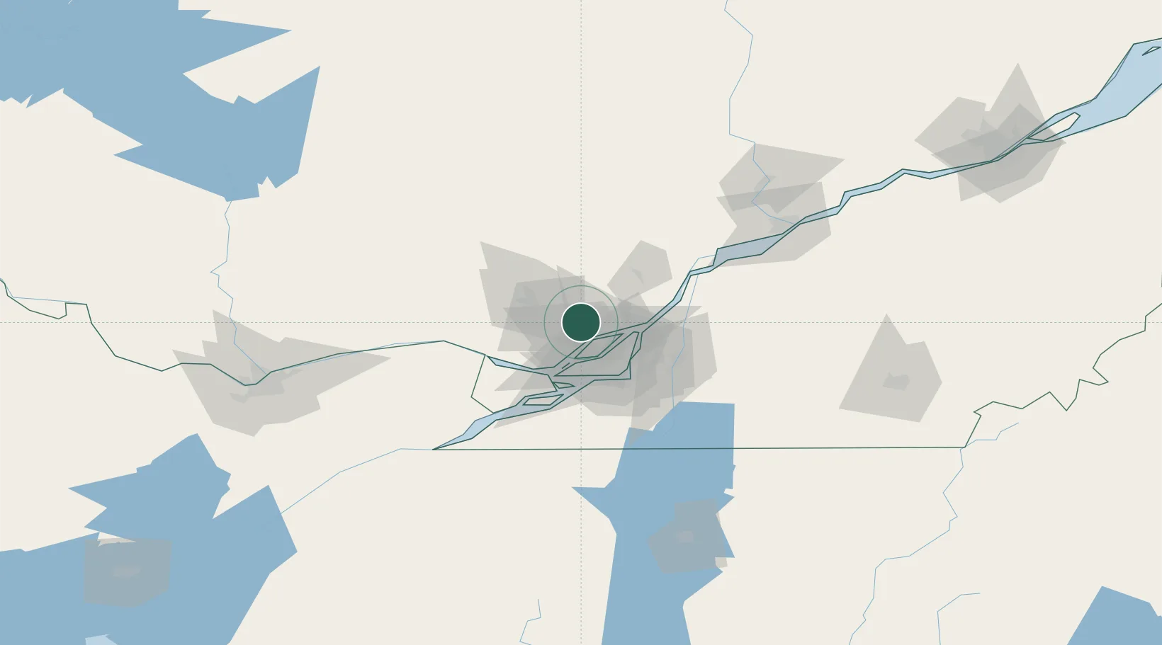
Sainte-Anne-des-Plaines

45.7667°, -73.8167°
10,680
Population
2
Transport functions

Transport Functions

Rail
Road
UN/LOCODE

Hub Profile

Place type
Populated place
GeoNames
Region
Quebec
GeoNames
Population
10,680
GeoNames
Time zone
America/Toronto
GeoNames
Elevation
67 m
GeoNames

Location

Location of CAADP
Natural Earth 10m (public domain) · Quebec · CAADP · 45.77, -73.82GoogleOSMYandex

Nearby Logistics Neighbours

Cities
  1. 1Saint-Janvier11 km
  2. 2Saint-Antoine-des-Laurentides12 km
  3. 3Sainte-Thérèse15 km
  4. 4Terrebonne17 km
  5. 5Saint-Roch-de-l'Achigan20 km
Nearest neighbours — logibook spatial index (haversine) over the source coordinates
Ports
  1. 1Montreal35 km
  2. 2Oka Sur Le Lac39 km
  3. 3St Placide40 km
  4. 4Hudson42 km
  5. 5Vaudreuil44 km
Nearest neighbours — logibook spatial index (haversine) over the source coordinates
Airports
  1. 1Montreal Mirabel International Airport20 km
  2. 2Montreal / Pierre Elliott Trudeau International Airport34 km
  3. 3Montréal / Saint-Hubert Metropolitan Airport42 km
  4. 4St Jean Airport67 km
  5. 5Cornwall Regional Airport95 km
Nearest neighbours — logibook spatial index (haversine) over the source coordinates
Trade Zones
  1. 1Greater Montreal Free Zone Center35 km
  2. 2FTZ No. 118 Ogdensburg177 km
  3. 3Québec City FTZ230 km
  4. 4FTZ No. 109 Watertown257 km
  5. 5FTZ No. 172 Oneida County332 km
Nearest neighbours — logibook spatial index (haversine) over the source coordinates
DatabookThe Record of Consolidated Knowledge
Canada beyond logistics?
Browse databook

All Sources

LocationsUN/LOCODE
UN/LOCODE — free
LocationsGeoNames
CC BY 4.0
Portsthe NGA World Port Index
Public domain (US gov)
AirportsOurAirports
Public domain
Trade Zonesthe World Bank SEZ database
CC BY 4.0
Trade ZonesOpen Zone Map
CC BY
← Canada locations