Transport Functions
Rail
Road
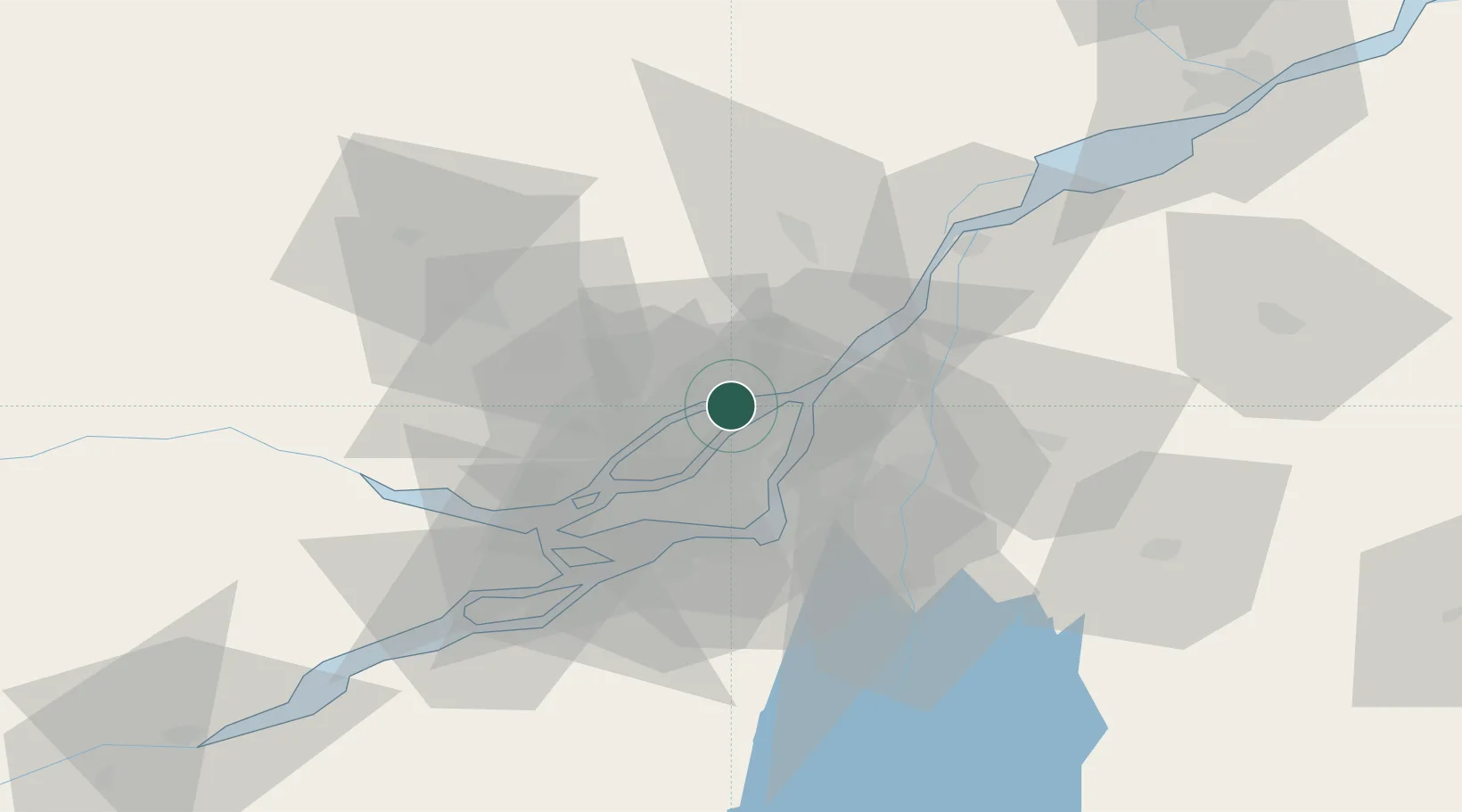
Hub Profile
Place type
Populated place
Region
Quebec
Population
111,575
Time zone
America/Toronto
Elevation
18 m
Location
Nearby Logistics Neighbours
Cities
- 1Montréal-Est12 km
- 2Pointe-aux-Trembles12 km
- 3Montréal-Nord13 km
- 4Longue-Pointe15 km
- 5Saint-Roch-de-l'Achigan17 km
Ports
- 1Montreal21 km
- 2Contrecour38 km
- 3Oka Sur Le Lac45 km
- 4Vaudreuil47 km
- 5Beauharnois47 km
Airports
Trade Zones
- 1Greater Montreal Free Zone Center22 km
- 2FTZ No. 118 Ogdensburg185 km
- 3Québec City FTZ221 km
- 4FTZ No. 109 Watertown262 km
- 5FTZ No. 263 Auburn322 km
DatabookThe Record of Consolidated Knowledge
Canada beyond logistics?