Transport Functions
Port
Multimodal
Hub Profile
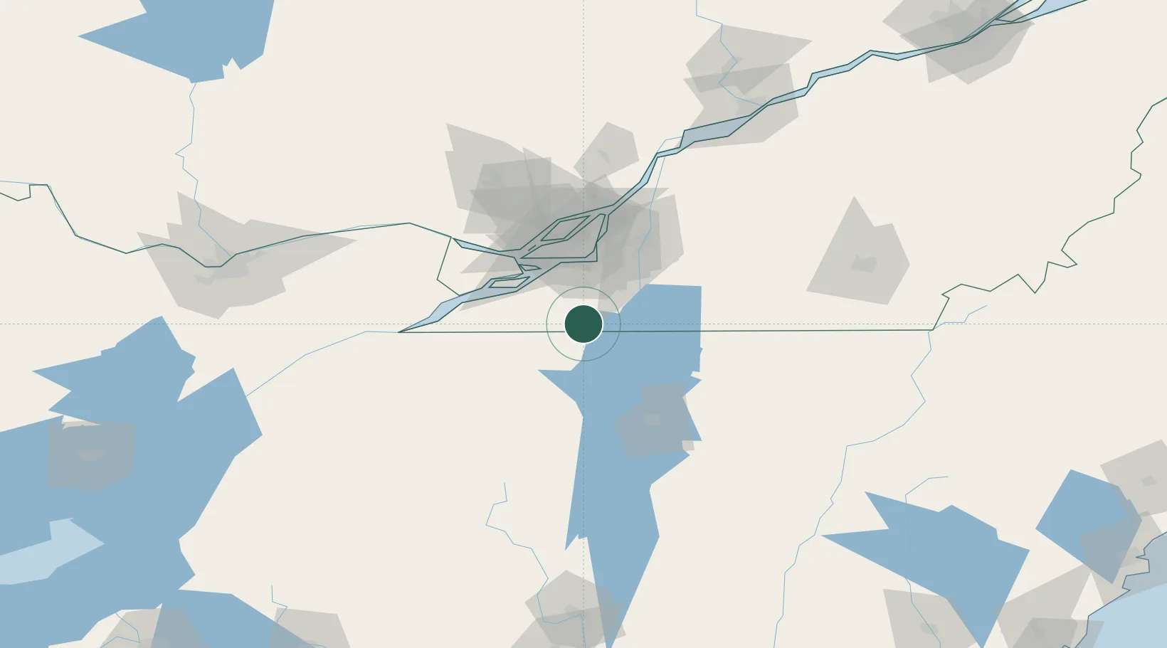
Place type
Populated place
Region
Quebec
Population
808
Time zone
America/Toronto
Elevation
79 m
Location
Nearby Logistics Neighbours
Cities
- 1Mooers11 km
- 2Mooers Forks11 km
- 3Saint-Paul-de-l'Île-aux-Noix24 km
- 4Saint-Rémi24 km
- 5Saint-Jacques-le-Mineur30 km
Ports
- 1Beauharnois37 km
- 2Vaudreuil52 km
- 3Montreal52 km
- 4Coteau Landing52 km
- 5St Zotique56 km
Airports
Trade Zones
- 1Greater Montreal Free Zone Center51 km
- 2FTZ No. 118 Ogdensburg155 km
- 3FTZ No. 109 Watertown217 km
- 4FTZ No. 268 Brattleboro256 km
- 5FTZ No. 121 Albany260 km
DatabookThe Record of Consolidated Knowledge
Canada beyond logistics?