Transport Functions
Rail
Road
Hub Profile
Place type
Populated place
Region
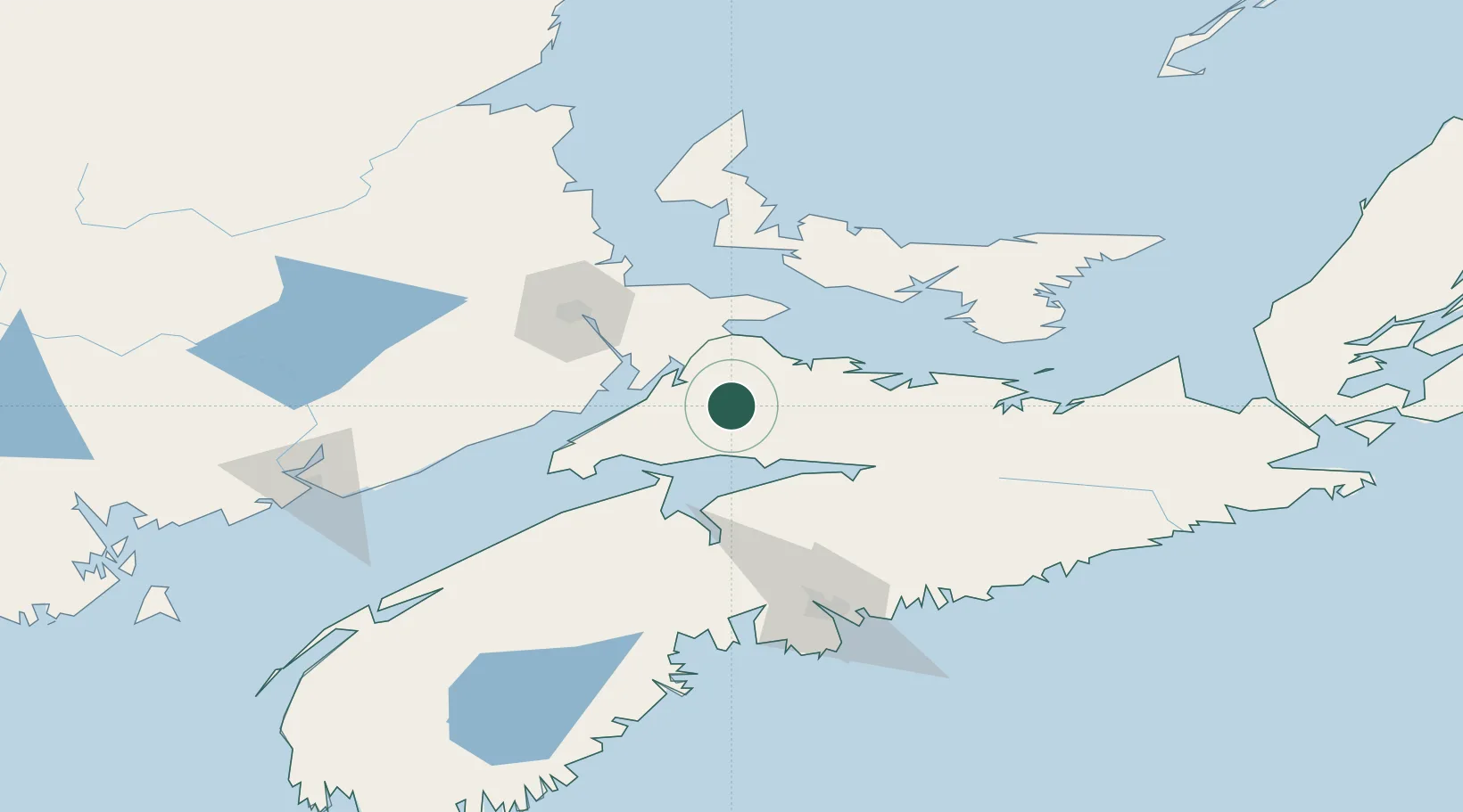
Nova Scotia
Population
2,743
Time zone
America/Halifax
Elevation
192 m
Location
Nearby Logistics Neighbours
Cities
- 1Oxford17 km
- 2Amherst22 km
- 3Port Elgin43 km
- 4Densmore Mills48 km
- 5Walton48 km
Ports
- 1Windsor73 km
- 2Summerside86 km
- 3Charlottetown96 km
- 4Pictou104 km
- 5Halifax117 km
Airports
Trade Zones
- 1Halifax Gateway117 km
- 2Saint John163 km
- 3Cape Breton Regional Municipality Foreign Trade Zone262 km
- 4FTZ No. 179 Madawaska375 km
- 5FTZ No. 058 Bangor385 km
DatabookThe Record of Consolidated Knowledge
Canada beyond logistics?