Channel & Berth Profile
Pilotage, Tugs & Services
Pilotage compulsoryYES
Pilotage availableYES
Pilotage advisableYES
Tug assistanceYES
Salvage tugsNO
Potable waterYES
Diesel bunkersYES
MedicalYES
Facilities & Capabilities
Container—
Ro-Ro—
Liquid bulk—
Dry bulk—
Oil terminal—
Break bulk—
Dry dock—
RepairsNO
BunkeringYES
Rail linkYES
Dangerous cargo—
ISPS security—
Harbour Specifications
Harbour size
Small
Harbour type
Coastal (Natural)
Shelter
Good
Water body
Gulf of Saint Lawrence; North Atlantic Ocean
Tidal range
3 m
Overhead limit
Yes
Pilotage
Yes
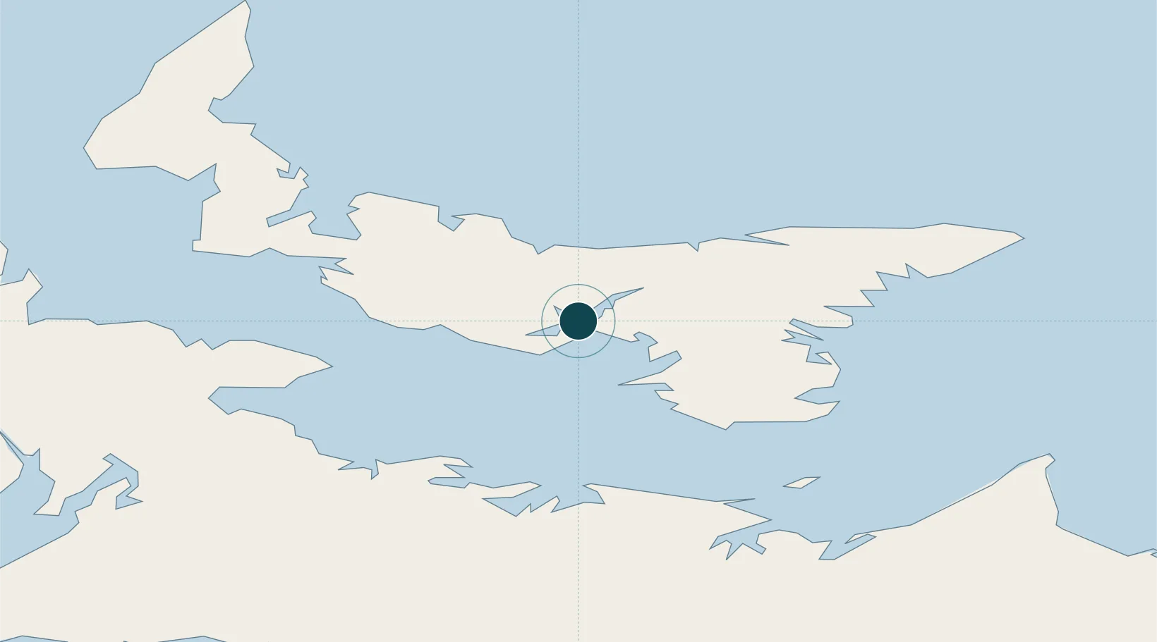
Location
Nearby Logistics Neighbours
Ports
- 1Georgetown47 km
- 2Summerside53 km
- 3Pictou71 km
- 4Port Hastings149 km
- 5Port Hawkesbury153 km
Cities
- 1York10 km
- 2Vernon Bridge20 km
- 3Breadalbane31 km
- 4Morell38 km
- 5Prince Edward Island41 km
Airports
Trade Zones
- 1Halifax Gateway179 km
- 2Cape Breton Regional Municipality Foreign Trade Zone184 km
- 3Saint John251 km
- 4FTZ No. 179 Madawaska413 km
- 5FTZ No. 058 Bangor470 km
DatabookThe Record of Consolidated Knowledge
Canada beyond logistics?