Transport Functions
Port
Rail
Road
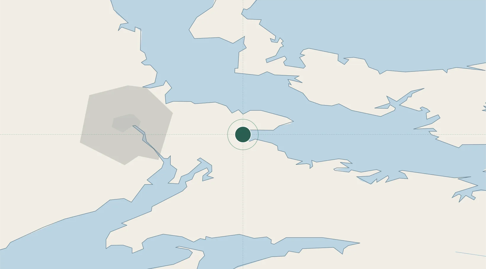
Hub Profile
Place type
Populated place
Region
New Brunswick
Population
381
Time zone
America/Moncton
Elevation
-2 m
Location
Nearby Logistics Neighbours
Cities
- 1Little Shemogue11 km
- 2Shemogue15 km
- 3Amherst26 km
- 4Oxford37 km
- 5Borden38 km
Ports
- 1Summerside47 km
- 2Charlottetown77 km
- 3Pictou113 km
- 4Windsor115 km
- 5Georgetown121 km
Airports
- 1Greater Moncton Roméo LeBlanc International Airport47 km
- 2Summerside Airport49 km
- 3Fox Harbour Airport51 km
- 4Charlottetown Airport79 km
- 5CFB Greenwood134 km
Trade Zones
- 1Halifax Gateway159 km
- 2Saint John176 km
- 3Cape Breton Regional Municipality Foreign Trade Zone257 km
- 4FTZ No. 179 Madawaska353 km
- 5FTZ No. 058 Bangor394 km
DatabookThe Record of Consolidated Knowledge
Canada beyond logistics?