Transport Functions
Rail
Road
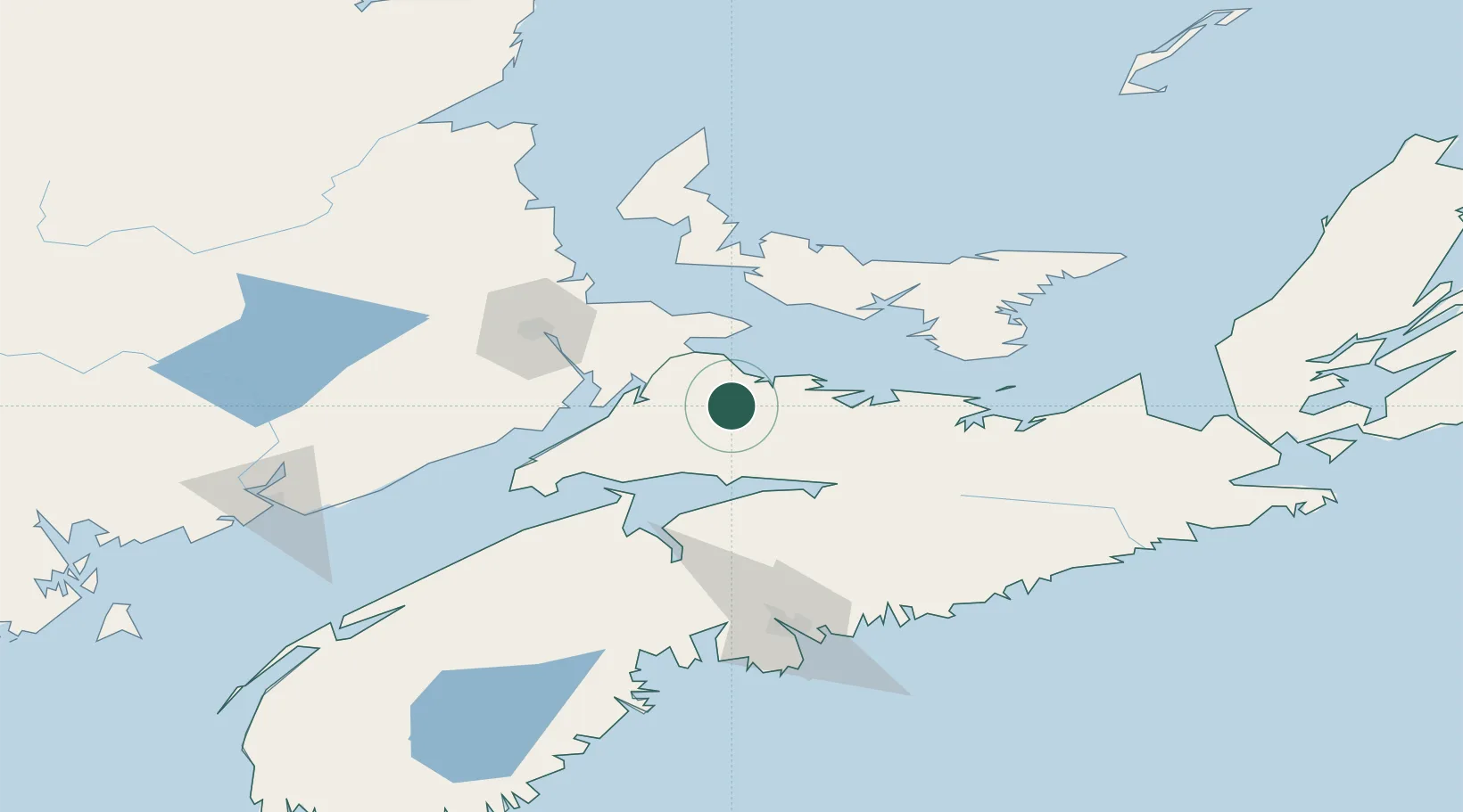
Hub Profile
Place type
Populated place
Region
Nova Scotia
Population
1,170
Time zone
America/Halifax
Elevation
6 m
Location
Nearby Logistics Neighbours
Cities
- 1Springhill17 km
- 2Amherst28 km
- 3Port Elgin37 km
- 4Little Shemogue44 km
- 5Debert Station49 km
Ports
- 1Summerside74 km
- 2Charlottetown79 km
- 3Windsor85 km
- 4Pictou90 km
- 5Georgetown115 km
Airports
Trade Zones
- 1Halifax Gateway122 km
- 2Saint John179 km
- 3Cape Breton Regional Municipality Foreign Trade Zone246 km
- 4FTZ No. 179 Madawaska383 km
- 5FTZ No. 058 Bangor401 km
DatabookThe Record of Consolidated Knowledge
Canada beyond logistics?