Medium airport · Canada

Summerside AirportCYSU
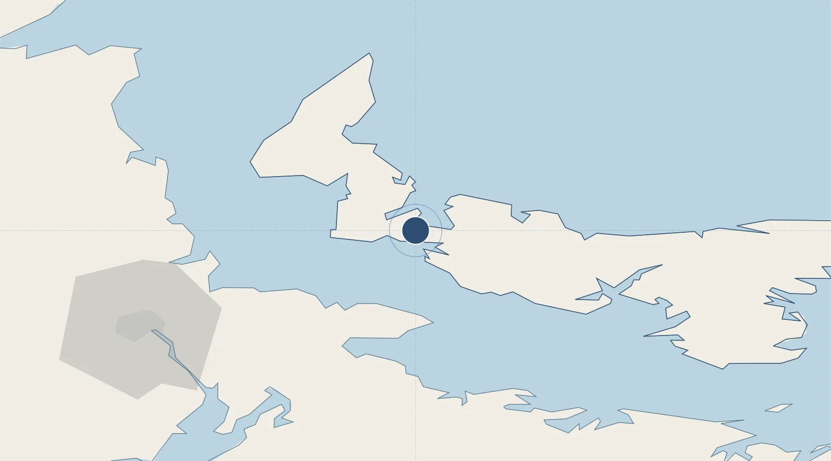
46.4406°, -63.8336°
8,000 ft
Longest runway
1
Runways
56 ft
Elevation

Runway & Layout

Summerside Airport runway & taxiway layout
Runway & taxiway layout — OpenStreetMap (ODbL) / OurAirports

Radio Frequencies

AWOS
122.55 MHz
CNTR
124.4 MHz
MONCTON CNTR
UNIC
122.95 MHz
ATF/UNICOM
OurAirports

Navaids

5B NDB Summerside 254 kHz
OurAirports

Runways · 1

RunwayDimensions SurfaceTrue headingLit
05/23 8,000 × 200ft Asphalt 036°
OurAirports

Airport Specifications

IATA code
YSU
OurAirports
ICAO code
CYSU
OurAirports
Airport class
Medium airport
OurAirports
Scheduled service
No
OurAirports
Runway surface
Asphalt
OurAirports
Served city
Slemon Park
OurAirports

Location

Location of CYSU
Natural Earth 10m (public domain) · Prince Edward Island · CYSU · 46.44, -63.83GoogleOSMYandex

Nearby Logistics Neighbours

Airports
  1. 1Charlottetown Airport57 km
  2. 2Fox Harbour Airport70 km
  3. 3Greater Moncton Roméo LeBlanc International Airport74 km
  4. 4Miramichi Airport138 km
  5. 5Halifax / Stanfield International Airport175 km
Nearest neighbours — logibook spatial index (haversine) over the source coordinates
Cities
  1. 1Borden24 km
  2. 2Prince Edward Island26 km
  3. 3Breadalbane28 km
  4. 4O'Leary30 km
  5. 5Little Shemogue39 km
Nearest neighbours — logibook spatial index (haversine) over the source coordinates
Ports
  1. 1Summerside6 km
  2. 2Charlottetown59 km
  3. 3Georgetown104 km
  4. 4Pictou122 km
  5. 5Shippegan160 km
Nearest neighbours — logibook spatial index (haversine) over the source coordinates
Trade Zones
  1. 1Halifax Gateway200 km
  2. 2Saint John216 km
  3. 3Cape Breton Regional Municipality Foreign Trade Zone239 km
  4. 4FTZ No. 179 Madawaska355 km
  5. 5FTZ No. 058 Bangor428 km
Nearest neighbours — logibook spatial index (haversine) over the source coordinates
DatabookThe Record of Consolidated Knowledge
Canada beyond logistics?
Browse databook

All Sources

AirportsOurAirports
Public domain
Portsthe NGA World Port Index
Public domain (US gov)
LocationsUN/LOCODE
UN/LOCODE — free
Trade Zonesthe World Bank SEZ database
CC BY 4.0
Trade ZonesOpen Zone Map
CC BY
InfrastructureOpenStreetMap
ODbL 1.0
← Canada airports