Transport Functions
Rail
Road
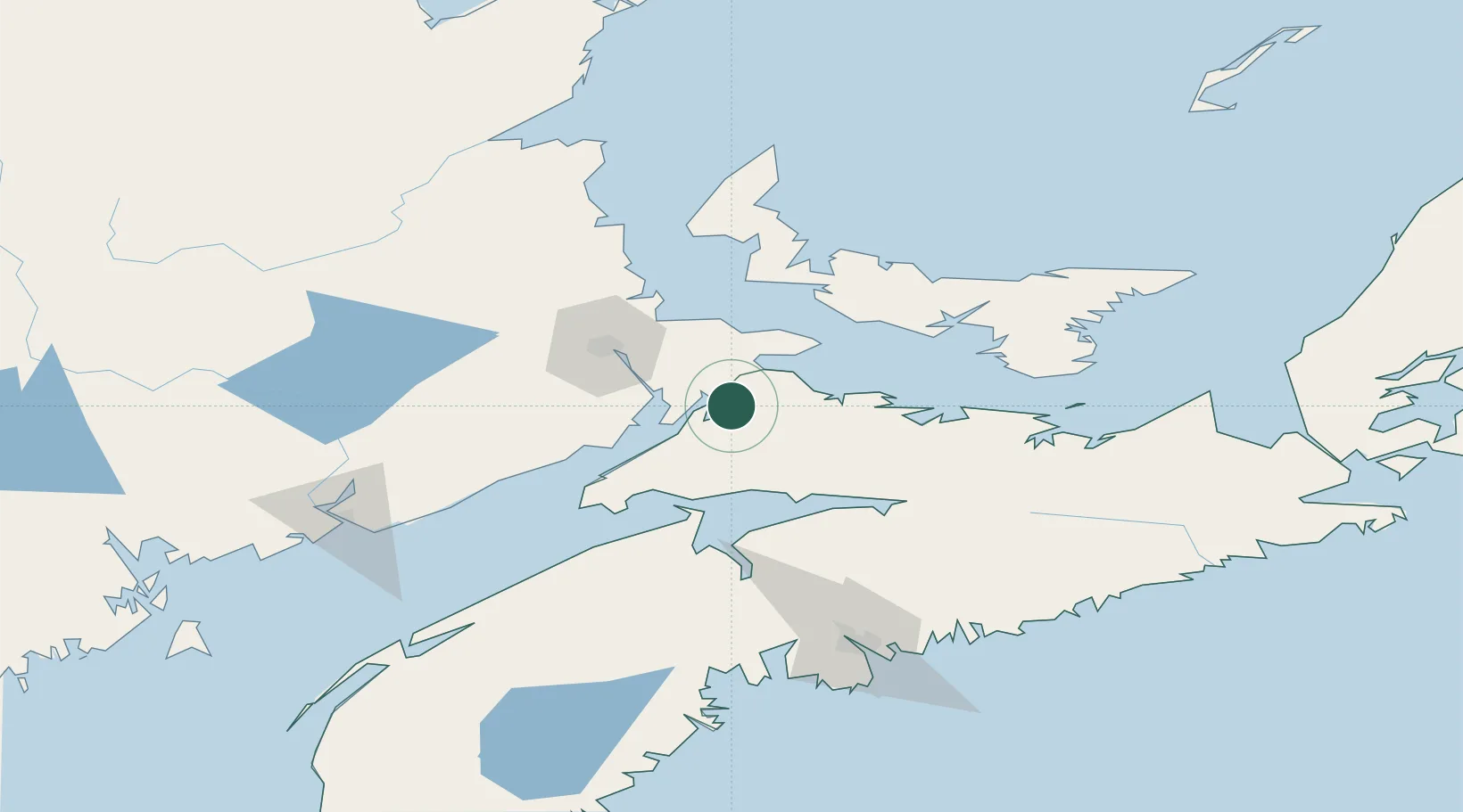
Hub Profile
Place type
Populated place
Region
Nova Scotia
Population
9,404
Time zone
America/Halifax
Elevation
20 m
Location
Nearby Logistics Neighbours
Cities
- 1Springhill22 km
- 2Port Elgin26 km
- 3Oxford28 km
- 4Little Shemogue36 km
- 5Shemogue37 km
Ports
- 1Summerside72 km
- 2Windsor91 km
- 3Charlottetown95 km
- 4Pictou116 km
- 5Georgetown135 km
Airports
- 1Greater Moncton Roméo LeBlanc International Airport50 km
- 2Fox Harbour Airport58 km
- 3Summerside Airport75 km
- 4Charlottetown Airport98 km
- 5CFB Greenwood108 km
Trade Zones
- 1Halifax Gateway138 km
- 2Saint John158 km
- 3Cape Breton Regional Municipality Foreign Trade Zone269 km
- 4FTZ No. 179 Madawaska356 km
- 5FTZ No. 058 Bangor378 km
DatabookThe Record of Consolidated Knowledge
Canada beyond logistics?