Transport Functions
Road
Multimodal
Hub Profile
Region
NS
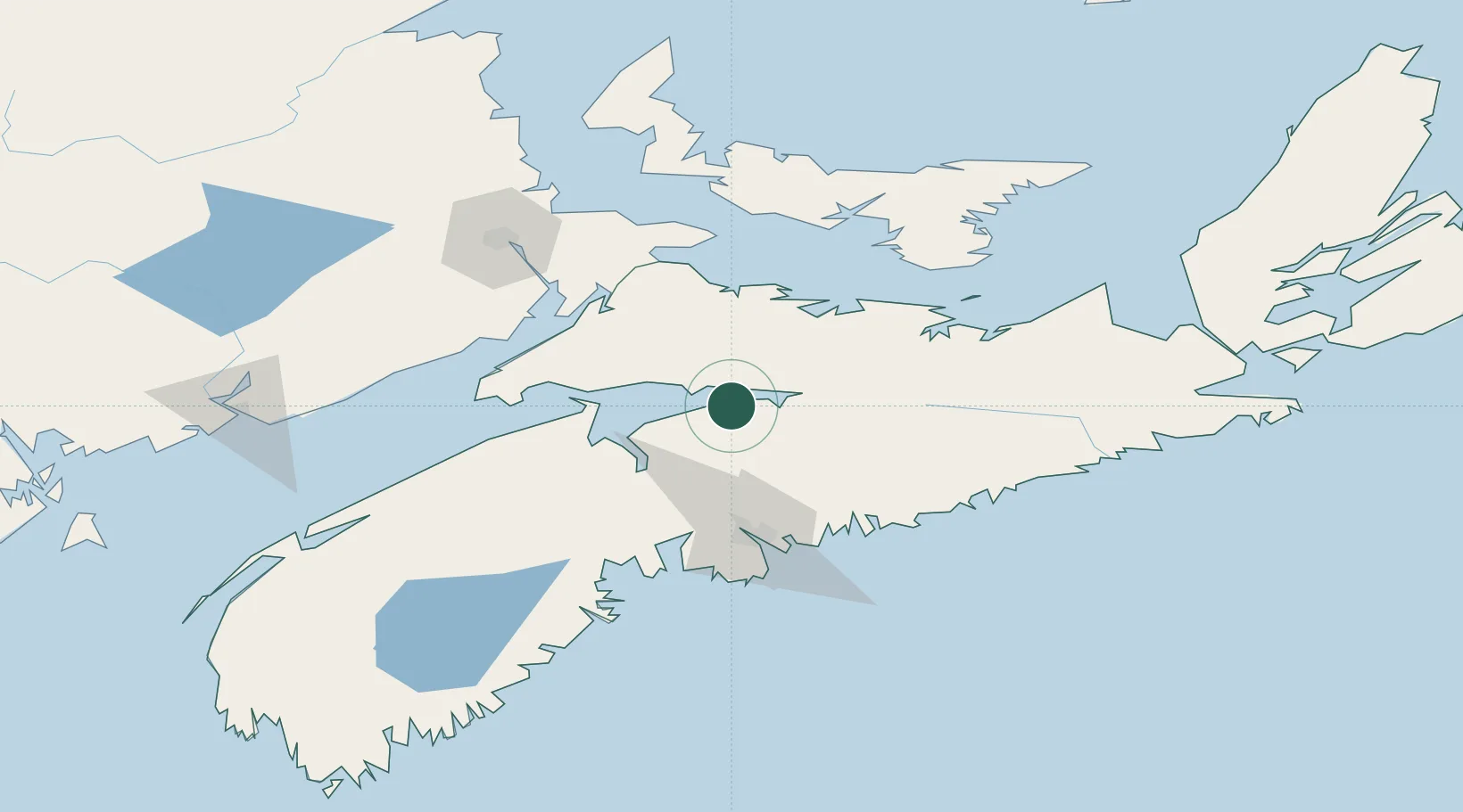
Location
Nearby Logistics Neighbours
Cities
- 1Debert Station25 km
- 2Walton27 km
- 3Brookfield33 km
- 4Shubenacadie34 km
- 5Stewiacke34 km
Ports
- 1Windsor49 km
- 2Musquodoboit Harbour72 km
- 3Halifax73 km
- 4Pictou87 km
- 5Charlottetown113 km
Airports
Trade Zones
- 1Halifax Gateway73 km
- 2Saint John185 km
- 3Cape Breton Regional Municipality Foreign Trade Zone248 km
- 4FTZ No. 058 Bangor406 km
- 5FTZ No. 179 Madawaska419 km
DatabookThe Record of Consolidated Knowledge
Canada beyond logistics?