UN/LOCODE hub · Canada
CAWTN

Walton

45.2167°, -64.0167°
2
Transport functions

Transport Functions

Port
Road
UN/LOCODE

Hub Profile

Place type
Populated place
GeoNames
Region
Nova Scotia
GeoNames
Time zone
America/Halifax
GeoNames
Elevation
12 m
GeoNames

Location

Location of CAWTN
Natural Earth 10m (public domain) · Nova Scotia · CAWTN · 45.22, -64.02GoogleOSMYandex

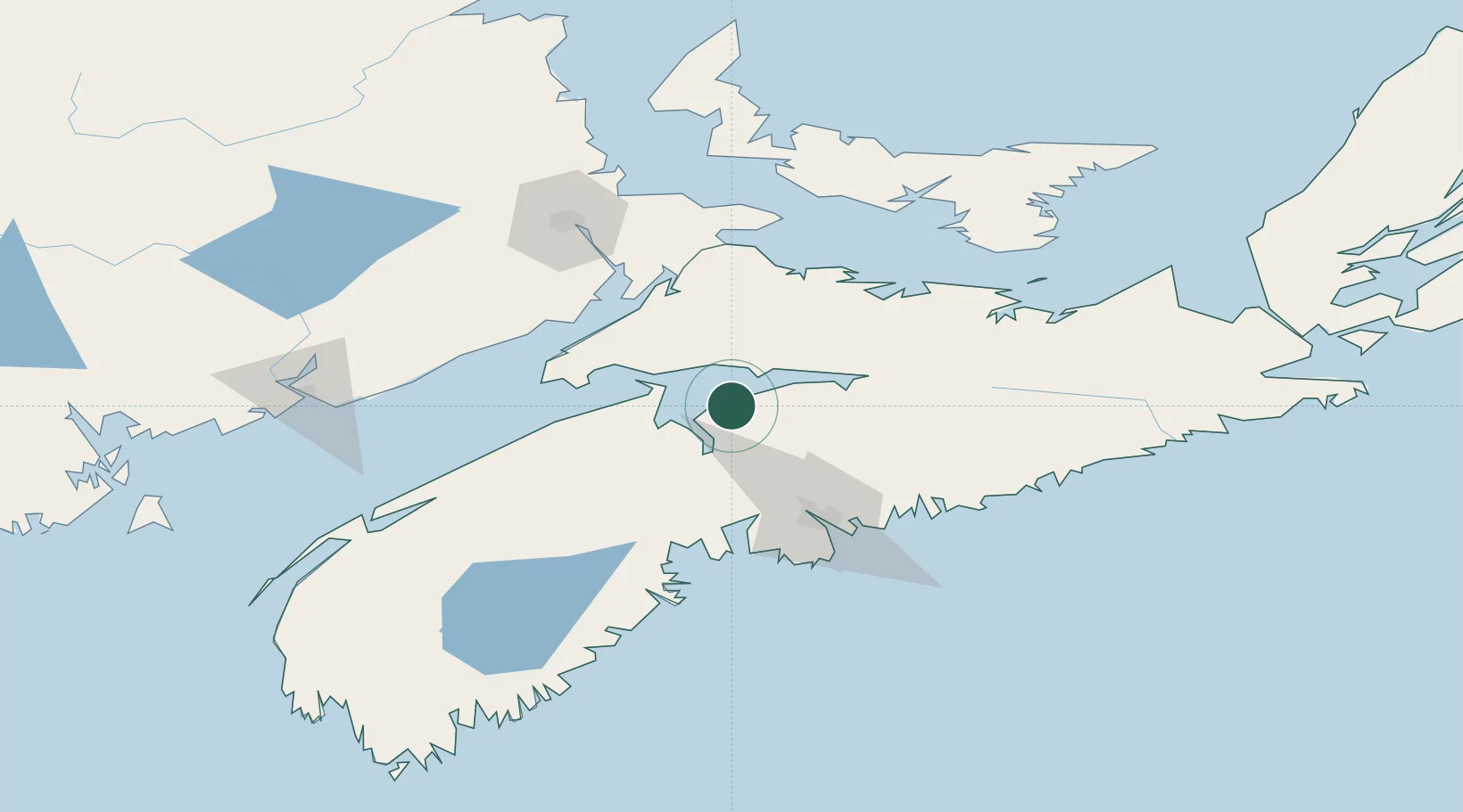
Nearby Logistics Neighbours

Cities
  1. 1Avonport22 km
  2. 2Densmore Mills27 km
  3. 3Windsor28 km
  4. 4Wolfville31 km
  5. 5Port Williams34 km
Nearest neighbours — logibook spatial index (haversine) over the source coordinates
Ports
  1. 1Windsor26 km
  2. 2Halifax72 km
  3. 3Musquodoboit Harbour84 km
  4. 4Pictou113 km
  5. 5Charlottetown132 km
Nearest neighbours — logibook spatial index (haversine) over the source coordinates
Airports
  1. 1Halifax / Stanfield International Airport55 km
  2. 2CFB Greenwood75 km
  3. 3Fox Harbour Airport85 km
  4. 4Greater Moncton Roméo LeBlanc International Airport112 km
  5. 5Summerside Airport137 km
Nearest neighbours — logibook spatial index (haversine) over the source coordinates
Trade Zones
  1. 1Halifax Gateway72 km
  2. 2Saint John161 km
  3. 3Cape Breton Regional Municipality Foreign Trade Zone275 km
  4. 4FTZ No. 058 Bangor380 km
  5. 5FTZ No. 179 Madawaska404 km
Nearest neighbours — logibook spatial index (haversine) over the source coordinates
DatabookThe Record of Consolidated Knowledge
Canada beyond logistics?
Browse databook

All Sources

LocationsUN/LOCODE
UN/LOCODE — free
Portsthe NGA World Port Index
Public domain (US gov)
AirportsOurAirports
Public domain
Trade Zonesthe World Bank SEZ database
CC BY 4.0
Trade ZonesOpen Zone Map
CC BY
← Canada locations