Channel & Berth Profile
Pilotage, Tugs & Services
Pilotage compulsoryYES
Pilotage advisableYES
Local assistanceYES
Tug assistanceNO
Salvage tugsNO
Shore powerYES
Potable waterYES
Diesel bunkersYES
MedicalYES
Facilities & Capabilities
Container—
Ro-Ro—
Liquid bulk—
Dry bulk—
Oil terminal—
Break bulk—
Dry dockNO
RepairsNO
BunkeringYES
Rail linkYES
Dangerous cargo—
ISPS security—
Harbour Specifications
Harbour size
Small
Harbour type
Coastal (Natural)
Shelter
Good
Water body
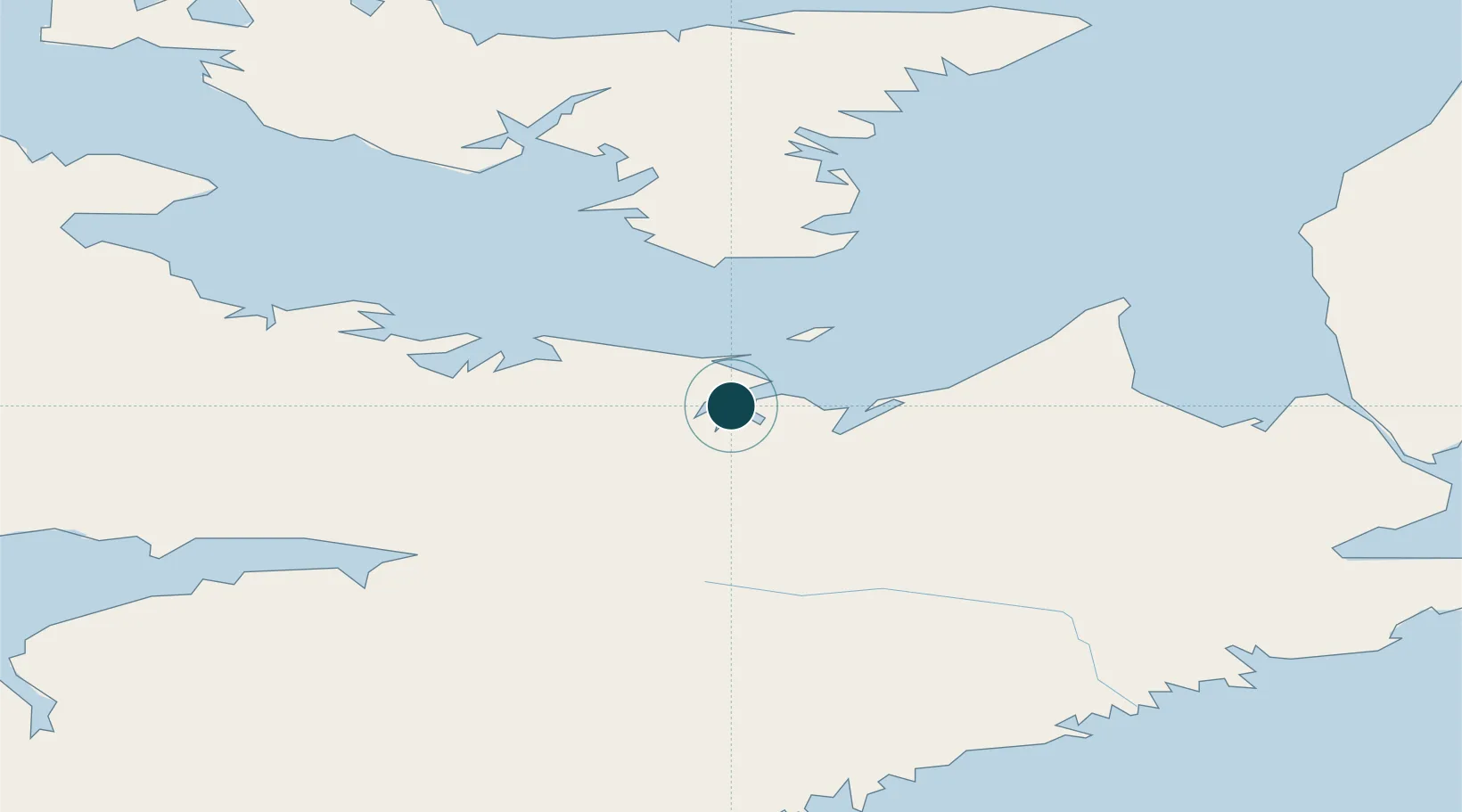
Gulf of Saint Lawrence; North Atlantic Ocean
Tidal range
2 m
Overhead limit
Yes
Pilotage
Yes
Liner Connectivity
8.4
PLSCI
Port Liner Shipping Connectivity Index for Pictou, as published by UNCTAD for the latest available quarter. Higher values indicate stronger scheduled liner-shipping integration.
Shown relative to the highest per-port PLSCI in the dataset (1,657.9).
Location
Nearby Logistics Neighbours
Ports
- 1Georgetown59 km
- 2Charlottetown71 km
- 3Stormont93 km
- 4Goldsboro99 km
- 5Port Hastings102 km
Cities
- 1Stellarton14 km
- 2Thorburn19 km
- 3Merigomish24 km
- 4Beach Point43 km
- 5Vernon Bridge59 km
Airports
- 1Fox Harbour Airport62 km
- 2Charlottetown Airport76 km
- 3Port Hawkesbury Airport105 km
- 4Halifax / Stanfield International Airport107 km
- 5Summerside Airport122 km
Trade Zones
- 1Halifax Gateway132 km
- 2Cape Breton Regional Municipality Foreign Trade Zone162 km
- 3Saint John265 km
- 4FTZ No. 179 Madawaska466 km
- 5FTZ No. 058 Bangor487 km
DatabookThe Record of Consolidated Knowledge
Canada beyond logistics?