Seaport · Canada
HalifaxCAHAL
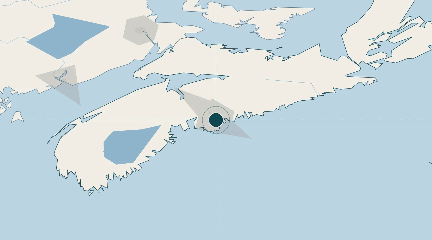
44.6500°, -63.5833°
20.1 m
Channel depth
2
Container terminals
231.0
Port liner connectivity
Channel & Berth Profile
Pilotage, Tugs & Services
Pilotage compulsoryYES
Pilotage advisableYES
Tug assistanceYES
Shore powerYES
Potable waterYES
Diesel bunkersYES
MedicalYES
Facilities & Capabilities
Container—
Ro-Ro—
Liquid bulk—
Dry bulk—
Oil terminal—
Break bulk—
Dry dockNO
RepairsNO
BunkeringYES
Rail linkYES
Dangerous cargo—
ISPS security—
Harbour Specifications
Harbour size
Large
Harbour type
Coastal (Natural)
Shelter
Excellent
Water body
North Atlantic Ocean
Tidal range
2 m
Overhead limit
Yes
Pilotage
Yes
Liner Connectivity
231
PLSCI
Port Liner Shipping Connectivity Index for Halifax, as published by UNCTAD for the latest available quarter. Higher values indicate stronger scheduled liner-shipping integration.
Shown relative to the highest per-port PLSCI in the dataset (1,657.9).
Location
Container Terminals · 2
FAIRVIEW COVE CONTAINER TERMINAL
FCOVE CERES HALIFAX INC.
SOUTH END CONTAINER TERMINAL
HAFXT PSA HALIFAX
Nearby Logistics Neighbours
Ports
- 1Musquodoboit Harbour37 km
- 2Windsor59 km
- 3Liverpool (Brooklyn)109 km
- 4Pictou132 km
- 5Stormont160 km
Cities
- 1Dartmouth6 km
- 2Bedford11 km
- 3Waverley15 km
- 4Minesville18 km
- 5Fall River19 km
Airports
Trade Zones
- 1Halifax Gateway0 km
- 2Saint John207 km
- 3Cape Breton Regional Municipality Foreign Trade Zone278 km
- 4FTZ No. 058 Bangor414 km
- 5FTZ No. 179 Madawaska470 km
DatabookThe Record of Consolidated Knowledge
Canada beyond logistics?