Transport Functions
Multimodal
Hub Profile
Place type
Populated place
Region
Quebec
Time zone
America/Toronto
Elevation
530 m
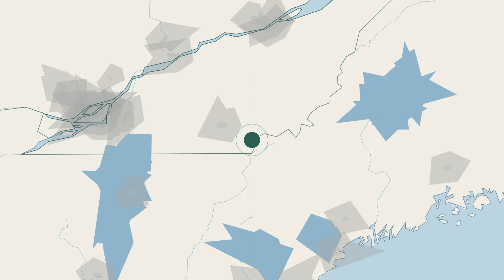
Location
Nearby Logistics Neighbours
Cities
- 1Saint-Isidore d'Auckland8 km
- 2Cookshire24 km
- 3Waterville31 km
- 4East Angus34 km
- 5Ayer's Cliff42 km
Ports
- 1Port De Becancour150 km
- 2Trois Rivieres152 km
- 3Contrecour153 km
- 4Sorel157 km
- 5Montreal164 km
Airports
- 1Sherbrooke Airport31 km
- 2Bromont (Roland Désourdy) Airport98 km
- 3Saint-Georges Airport117 km
- 4Edward F Knapp State Airport139 km
- 5St Jean Airport140 km
Trade Zones
- 1FTZ No. 186 Waterville160 km
- 2FTZ No. 263 Auburn160 km
- 3Greater Montreal Free Zone Center165 km
- 4Québec City FTZ182 km
- 5FTZ No. 058 Bangor215 km
DatabookThe Record of Consolidated Knowledge
Canada beyond logistics?