UN/LOCODE hub · Canada
CASHU

Saint-Hubert

45.5000°, -73.4000°
82,548
Population
3
Transport functions

Transport Functions

Rail
Road
Airport
UN/LOCODE

Hub Profile

Place type
Urban district
GeoNames
Region
Quebec
GeoNames
Population
82,548
GeoNames
Time zone
America/Toronto
GeoNames
Elevation
23 m
GeoNames

Location

Location of CASHU
Natural Earth 10m (public domain) · Quebec · CASHU · 45.50, -73.40GoogleOSMYandex

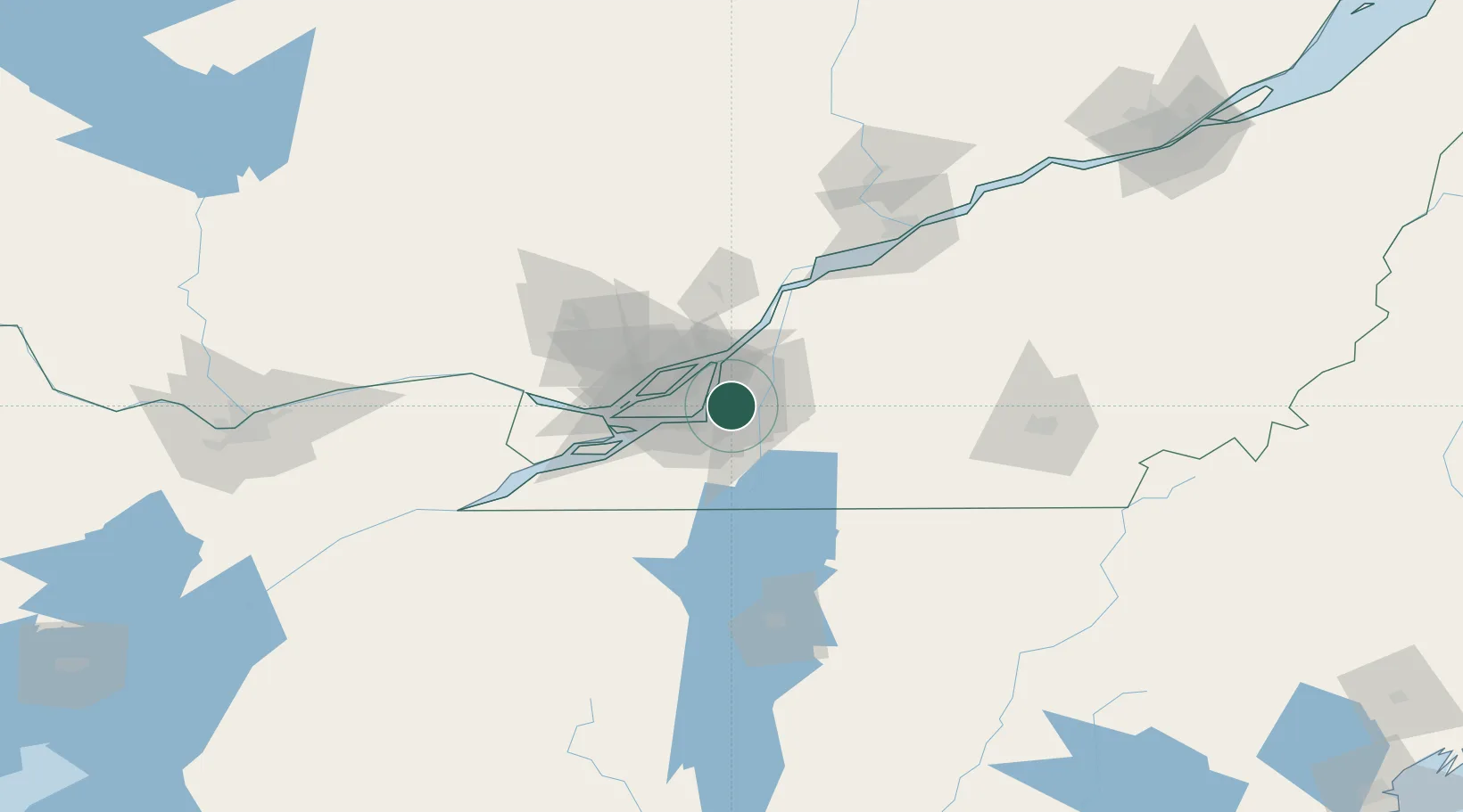
Nearby Logistics Neighbours

Cities
  1. 1Saint-Lambert8 km
  2. 2Longueuil8 km
  3. 3Longue-Pointe13 km
  4. 4Montréal-Est17 km
  5. 5Montreal17 km
Nearest neighbours — logibook spatial index (haversine) over the source coordinates
Ports
  1. 1Montreal12 km
  2. 2Beauharnois43 km
  3. 3Contrecour45 km
  4. 4Vaudreuil51 km
  5. 5Oka Sur Le Lac53 km
Nearest neighbours — logibook spatial index (haversine) over the source coordinates
Trade Zones
  1. 1Greater Montreal Free Zone Center13 km
  2. 2FTZ No. 118 Ogdensburg187 km
  3. 3Québec City FTZ222 km
  4. 4FTZ No. 109 Watertown259 km
  5. 5FTZ No. 263 Auburn296 km
Nearest neighbours — logibook spatial index (haversine) over the source coordinates
DatabookThe Record of Consolidated Knowledge
Canada beyond logistics?
Browse databook

All Sources

LocationsUN/LOCODE
UN/LOCODE — free
LocationsGeoNames
CC BY 4.0
Portsthe NGA World Port Index
Public domain (US gov)
AirportsOurAirports
Public domain
Trade Zonesthe World Bank SEZ database
CC BY 4.0
Trade ZonesOpen Zone Map
CC BY
← Canada locations