Transport Functions
Rail
Road
Hub Profile
Place type
Populated place
Region
Ontario
Time zone
America/Toronto
Elevation
361 m
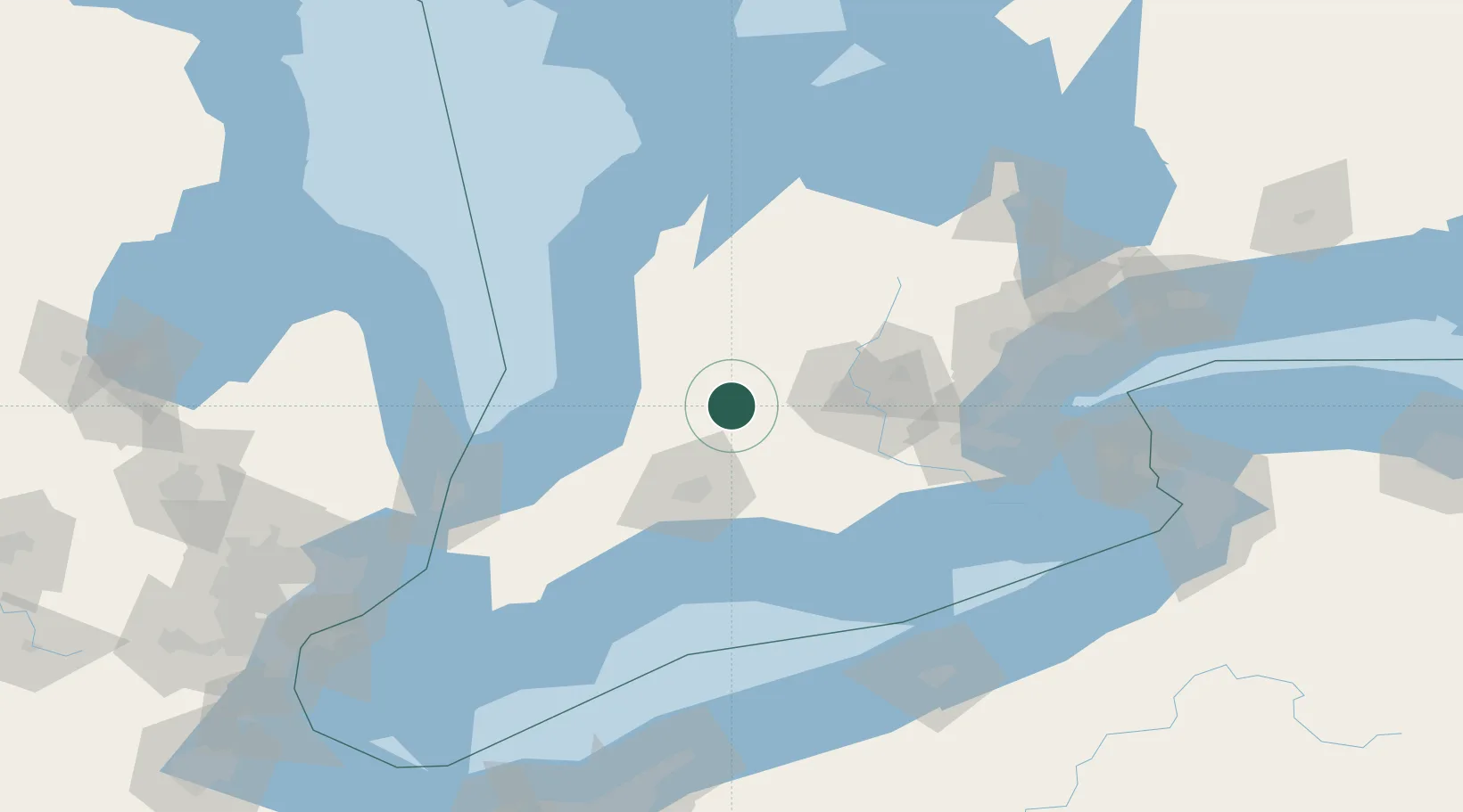
Location
Nearby Logistics Neighbours
Cities
- 1Saint-Pauls-Station9 km
- 2Mitchell12 km
- 3Saint-Marys17 km
- 4Dublin21 km
- 5Milverton21 km
Ports
- 1Goderich66 km
- 2Port Stanley82 km
- 3Port Dover98 km
- 4Hamilton100 km
- 5Oakville113 km
Airports
Trade Zones
- 1FTZ No. 210 St. Clair County134 km
- 2FTZ No. 034 Niagara County158 km
- 3FTZ No. 247 Erie163 km
- 4Niagara Foreign Trade Zone167 km
- 5FTZ No. 023 Buffalo187 km
DatabookThe Record of Consolidated Knowledge
Canada beyond logistics?