Transport Functions
Rail
Road
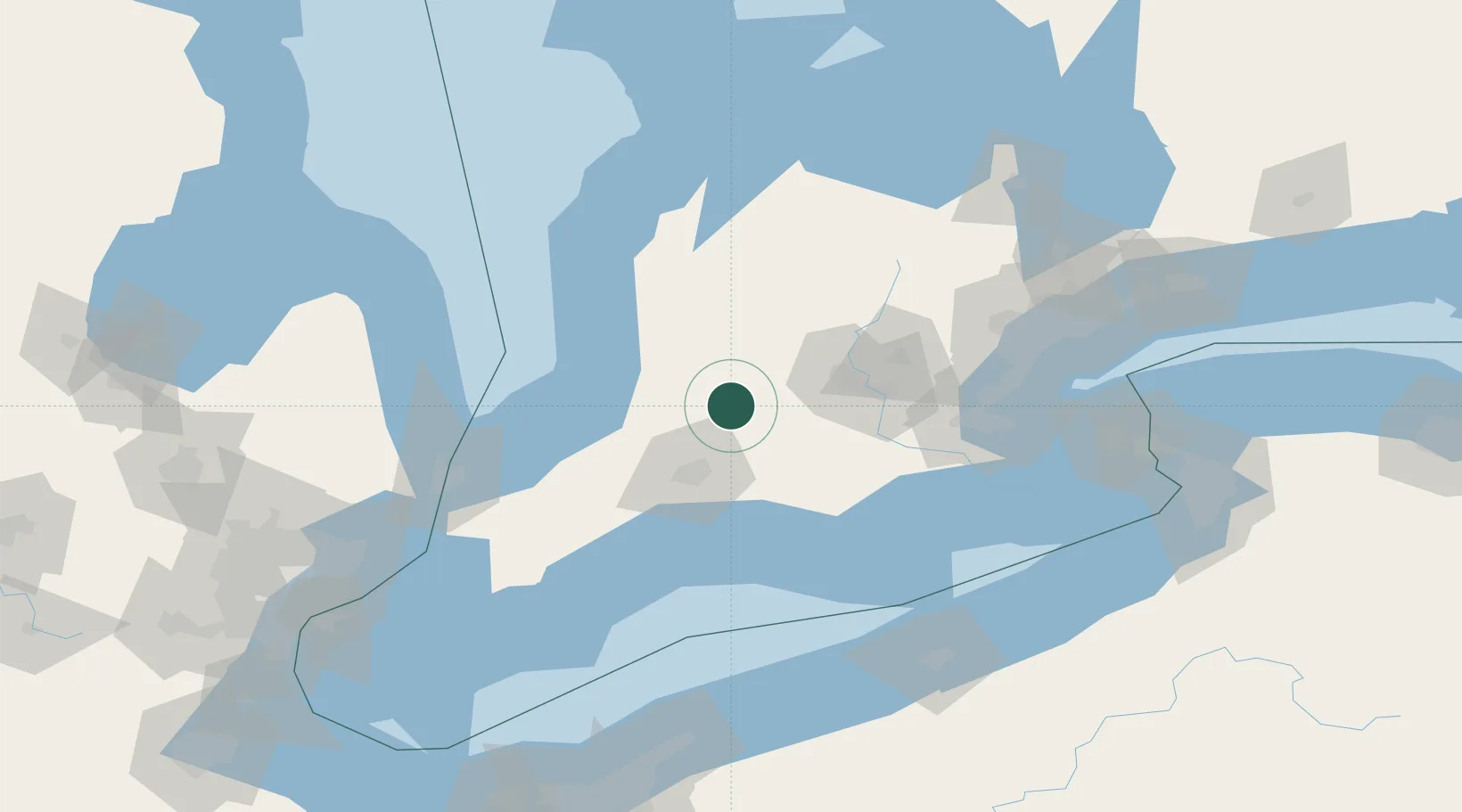
Hub Profile
Region
ON
Location
Nearby Logistics Neighbours
Cities
- 1Saint-Marys8 km
- 2Sebringville9 km
- 3Lakeside14 km
- 4Mitchell18 km
- 5Kintore21 km
Ports
- 1Goderich72 km
- 2Port Stanley73 km
- 3Port Dover92 km
- 4Hamilton99 km
- 5Thorold113 km
Airports
Trade Zones
- 1FTZ No. 210 St. Clair County130 km
- 2FTZ No. 247 Erie155 km
- 3FTZ No. 034 Niagara County158 km
- 4Niagara Foreign Trade Zone166 km
- 5FTZ No. 023 Buffalo185 km
DatabookThe Record of Consolidated Knowledge
Canada beyond logistics?