Transport Functions
Rail
Road
Hub Profile
Place type
Populated place
Region
Ontario
Time zone
America/Toronto
Elevation
387 m
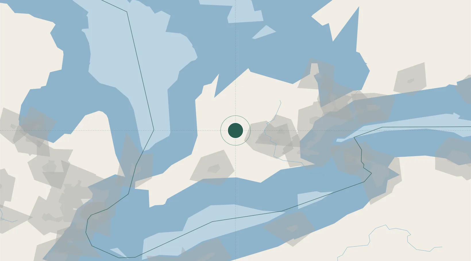
Location
Nearby Logistics Neighbours
Cities
- 1Millbank8 km
- 2Atwood13 km
- 3Sebringville21 km
- 4Mitchell25 km
- 5New Hamburg27 km
Ports
- 1Goderich68 km
- 2Hamilton94 km
- 3Port Stanley102 km
- 4Oakville103 km
- 5Port Elgin103 km
Airports
Trade Zones
- 1FTZ No. 034 Niagara County150 km
- 2FTZ No. 210 St. Clair County153 km
- 3Niagara Foreign Trade Zone161 km
- 4FTZ No. 247 Erie175 km
- 5FTZ No. 023 Buffalo184 km
DatabookThe Record of Consolidated Knowledge
Canada beyond logistics?