Seaport · Canada

HamiltonCAHAM

43.2500°, -79.8500°
7.9 m
Channel depth
7.6
Port liner connectivity

Channel & Berth Profile

SEA LEVEL (CD)CHANNEL BEDOil terminal · 6.4 mChannel · 7.9 mCargo pier · 7.9 mAnchorage · 17.1 m
NGA World Port Index

Pilotage, Tugs & Services

Pilotage compulsoryYES
Tug assistanceYES
Potable waterYES
Diesel bunkersYES
MedicalYES
Garbage disposalYES
NGA World Port Index

Facilities & Capabilities

Container
Ro-Ro
Liquid bulk
Dry bulk
Oil terminal
Break bulk
Dry dock
RepairsNO
BunkeringYES
Rail linkYES
Dangerous cargo
ISPS security
NGA World Port Index

Harbour Specifications

Harbour size
Medium
NGA World Port Index
Harbour type
Coastal (Natural)
NGA World Port Index
Shelter
Excellent
NGA World Port Index
Water body
Lake Ontario; Great Lakes
NGA World Port Index
Overhead limit
Yes
NGA World Port Index
Pilotage
Yes
NGA World Port Index

Liner Connectivity

7.6
PLSCI

Port Liner Shipping Connectivity Index for Hamilton, as published by UNCTAD for the latest available quarter. Higher values indicate stronger scheduled liner-shipping integration.

Shown relative to the highest per-port PLSCI in the dataset (1,657.9).
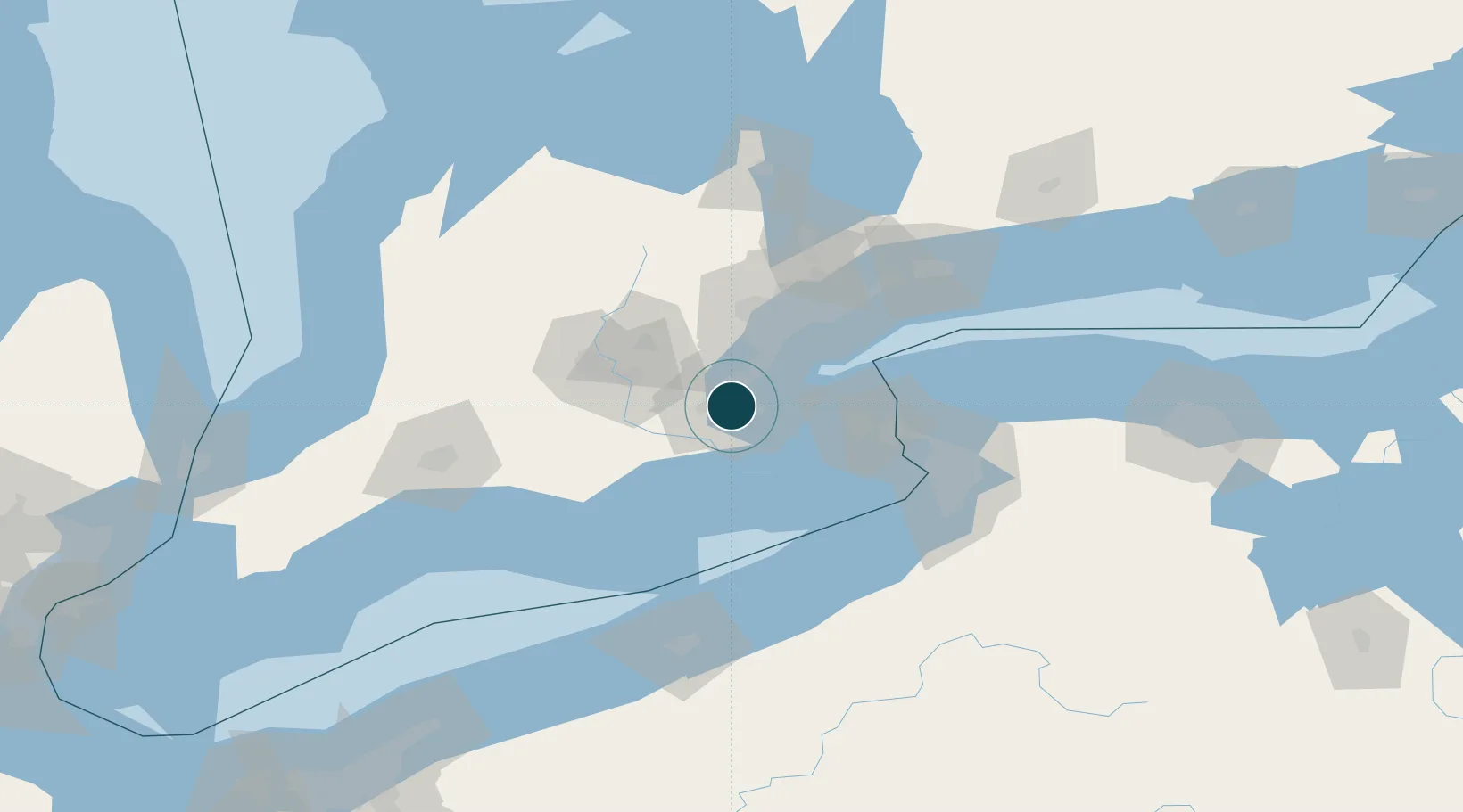
UNCTAD · Port Liner Shipping Connectivity Index

Location

Location of CAHAM
Natural Earth 10m (public domain) · Ontario · CAHAM · 43.25, -79.85GoogleOSMYandex

Nearby Logistics Neighbours

Ports
  1. 1Thorold22 km
  2. 2Oakville25 km
  3. 3Clarkson34 km
  4. 4Port Credit40 km
  5. 5St Catherine47 km
Nearest neighbours — logibook spatial index (haversine) over the source coordinates
Cities
  1. 1Burlington9 km
  2. 2Oakville21 km
  3. 3Grimsby24 km
  4. 4Caistor Centre26 km
  5. 5Galt38 km
Nearest neighbours — logibook spatial index (haversine) over the source coordinates
Airports
  1. 1John C. Munro Hamilton International Airport11 km
  2. 2Brantford Municipal Airport42 km
  3. 3Region of Waterloo International Airport49 km
  4. 4Toronto Pearson International Airport51 km
  5. 5Niagara District Airport55 km
Nearest neighbours — logibook spatial index (haversine) over the source coordinates
Trade Zones
  1. 1FTZ No. 034 Niagara County60 km
  2. 2Niagara Foreign Trade Zone67 km
  3. 3FTZ No. 023 Buffalo90 km
  4. 4FTZ No. 247 Erie128 km
  5. 5FTZ No. 141 Monroe County153 km
Nearest neighbours — logibook spatial index (haversine) over the source coordinates
DatabookThe Record of Consolidated Knowledge
Canada beyond logistics?
Browse databook

All Sources

Portsthe NGA World Port Index
Public domain (US gov)
Logistics performanceUNCTAD
CC BY 3.0 IGO
AirportsOurAirports
Public domain
LocationsUN/LOCODE
UN/LOCODE — free
Trade Zonesthe World Bank SEZ database
CC BY 4.0
Trade ZonesOpen Zone Map
CC BY
← Canada ports