Transport Functions
Rail
Road
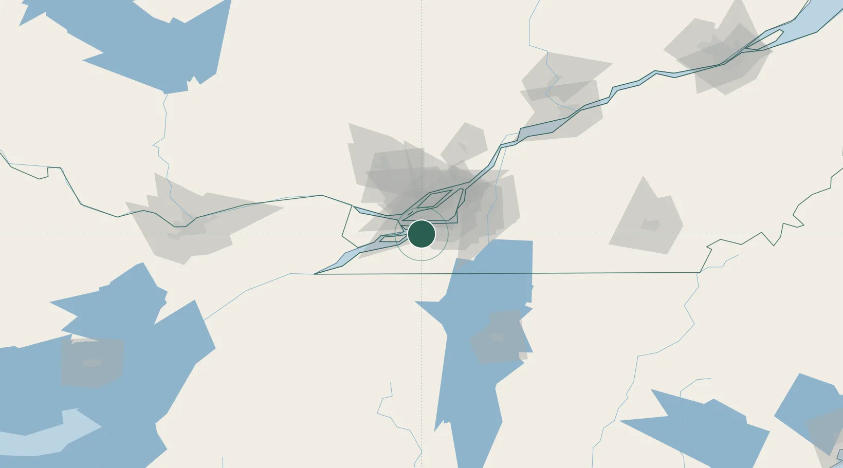
Hub Profile
Place type
Populated place
Region
Quebec
Time zone
America/Toronto
Elevation
28 m
Location
Nearby Logistics Neighbours
Cities
- 1Châteauguay6 km
- 2Kahnawake14 km
- 3Pointe-Claire16 km
- 4Sainte-Geneviève17 km
- 5Lachine/Montreal17 km
Ports
- 1Beauharnois6 km
- 2Vaudreuil19 km
- 3Oka Sur Le Lac26 km
- 4Hudson29 km
- 5Montreal29 km
Airports
Trade Zones
- 1Greater Montreal Free Zone Center28 km
- 2FTZ No. 118 Ogdensburg150 km
- 3FTZ No. 109 Watertown222 km
- 4Québec City FTZ258 km
- 5FTZ No. 121 Albany291 km
DatabookThe Record of Consolidated Knowledge
Canada beyond logistics?