UN/LOCODE hub · Canada
CASGG

Saint-Georges

46.6167°, -72.6667°
2
Transport functions

Transport Functions

Road
Multimodal
UN/LOCODE

Hub Profile

Place type
Urban district
GeoNames
Region
Quebec
GeoNames
Time zone
America/Toronto
GeoNames
Elevation
135 m
GeoNames

Location

Location of CASGG
Natural Earth 10m (public domain) · Quebec · CASGG · 46.62, -72.67GoogleOSMYandex

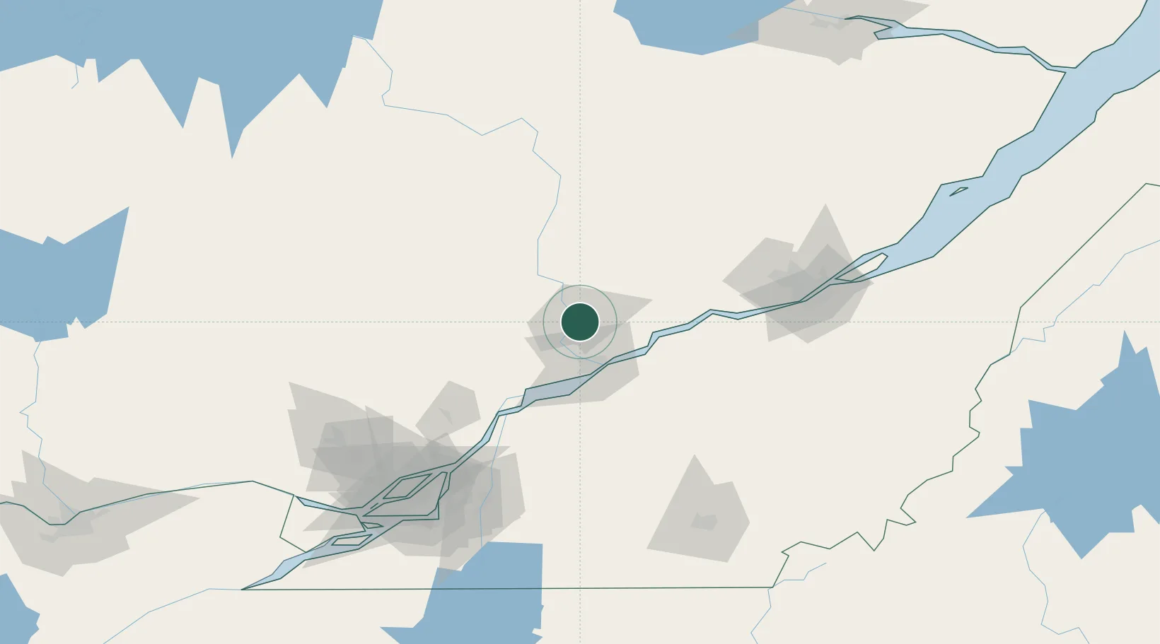
Nearby Logistics Neighbours

Cities
  1. 1Grand Mere1 km
  2. 2Saint-Tite15 km
  3. 3Saint-Mathieu-du-Parc20 km
  4. 4Sainte-Anne-de-la-Perade36 km
  5. 5Bécancour36 km
Nearest neighbours — logibook spatial index (haversine) over the source coordinates
Ports
  1. 1Trois Rivieres31 km
  2. 2Port De Becancour32 km
  3. 3Sorel72 km
  4. 4Contrecour91 km
  5. 5Quebec113 km
Nearest neighbours — logibook spatial index (haversine) over the source coordinates
Airports
  1. 1Trois-Rivières Airport29 km
  2. 2Quebec Jean Lesage International Airport99 km
  3. 3Montréal / Saint-Hubert Metropolitan Airport135 km
  4. 4Bromont (Roland Désourdy) Airport148 km
  5. 5Montreal Mirabel International Airport148 km
Nearest neighbours — logibook spatial index (haversine) over the source coordinates
Trade Zones
  1. 1Québec City FTZ110 km
  2. 2Greater Montreal Free Zone Center141 km
  3. 3FTZ No. 118 Ogdensburg306 km
  4. 4FTZ No. 186 Waterville326 km
  5. 5FTZ No. 179 Madawaska337 km
Nearest neighbours — logibook spatial index (haversine) over the source coordinates
DatabookThe Record of Consolidated Knowledge
Canada beyond logistics?
Browse databook

All Sources

LocationsUN/LOCODE
UN/LOCODE — free
Portsthe NGA World Port Index
Public domain (US gov)
AirportsOurAirports
Public domain
Trade Zonesthe World Bank SEZ database
CC BY 4.0
Trade ZonesOpen Zone Map
CC BY
← Canada locations