UN/LOCODE hub · Canada
CAQGM

Grand Mere

46.6167°, -72.6833°
1
Transport functions

Transport Functions

Multimodal
UN/LOCODE

Hub Profile

Region
Quebec
GeoNames
Time zone
America/Toronto
GeoNames
Elevation
152 m
GeoNames

Location

Location of CAQGM
Natural Earth 10m (public domain) · Quebec · CAQGM · 46.62, -72.68GoogleOSMYandex

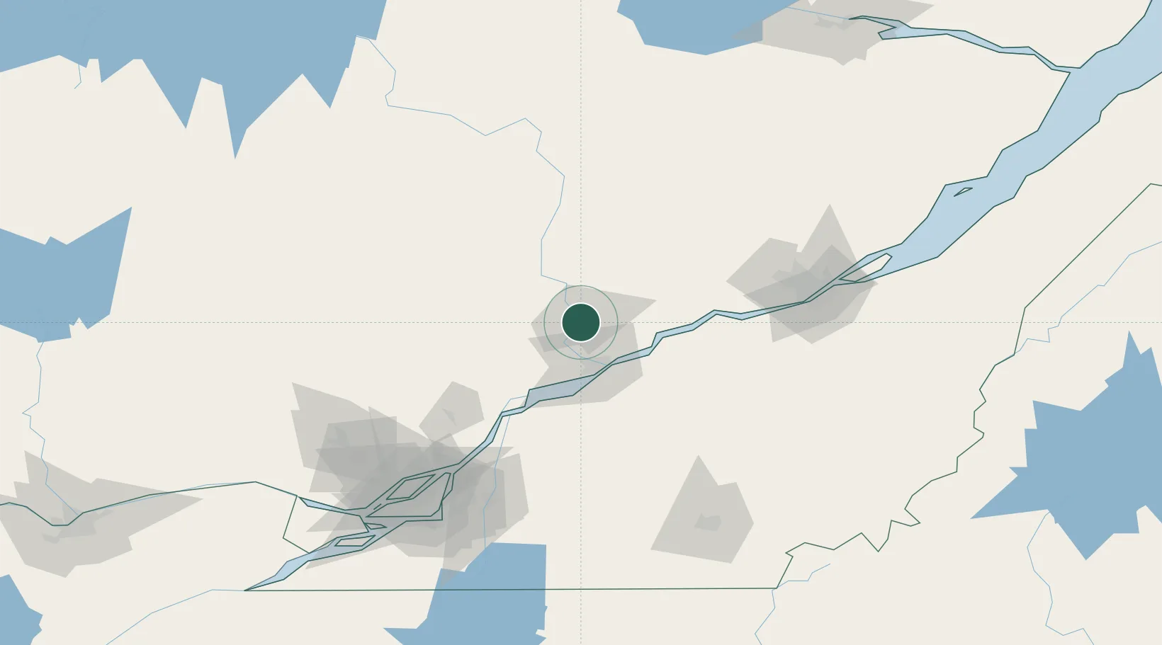
Nearby Logistics Neighbours

Cities
  1. 1Saint-Georges1 km
  2. 2Saint-Tite16 km
  3. 3Saint-Mathieu-du-Parc19 km
  4. 4Rivière-Matawin36 km
  5. 5Bécancour37 km
Nearest neighbours — logibook spatial index (haversine) over the source coordinates
Ports
  1. 1Trois Rivieres31 km
  2. 2Port De Becancour33 km
  3. 3Sorel71 km
  4. 4Contrecour91 km
  5. 5Quebec114 km
Nearest neighbours — logibook spatial index (haversine) over the source coordinates
Airports
  1. 1Trois-Rivières Airport29 km
  2. 2Quebec Jean Lesage International Airport100 km
  3. 3Montréal / Saint-Hubert Metropolitan Airport135 km
  4. 4Bromont (Roland Désourdy) Airport148 km
  5. 5Montreal Mirabel International Airport148 km
Nearest neighbours — logibook spatial index (haversine) over the source coordinates
Trade Zones
  1. 1Québec City FTZ112 km
  2. 2Greater Montreal Free Zone Center141 km
  3. 3FTZ No. 118 Ogdensburg305 km
  4. 4FTZ No. 186 Waterville327 km
  5. 5FTZ No. 179 Madawaska338 km
Nearest neighbours — logibook spatial index (haversine) over the source coordinates
DatabookThe Record of Consolidated Knowledge
Canada beyond logistics?
Browse databook

All Sources

LocationsUN/LOCODE
UN/LOCODE — free
Portsthe NGA World Port Index
Public domain (US gov)
AirportsOurAirports
Public domain
Trade Zonesthe World Bank SEZ database
CC BY 4.0
Trade ZonesOpen Zone Map
CC BY
← Canada locations