Transport Functions
Port
Hub Profile
Place type
Urban district
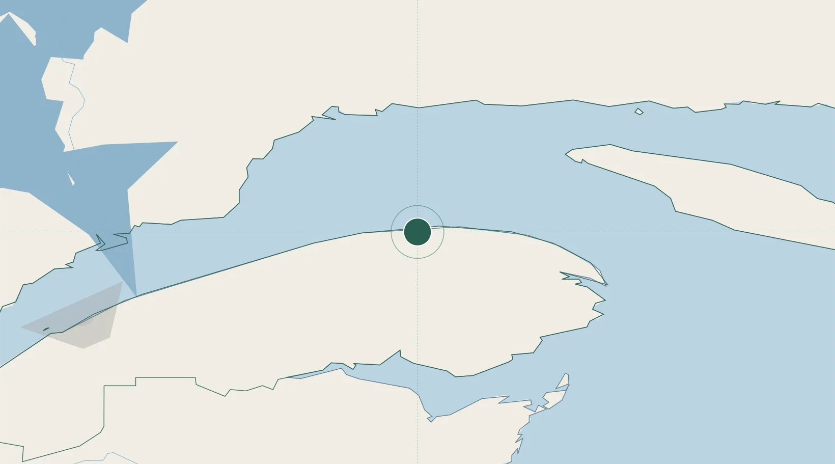
Region
Quebec
Time zone
America/Toronto
Elevation
14 m
Location
Nearby Logistics Neighbours
Cities
- 1Sainte-Anne-des-Monts55 km
- 2Cap-Chat70 km
- 3Les Mechins92 km
- 4Gaspé102 km
- 5Fox River (=riviere-Au-Renard)105 km
Ports
- 1Gaspe102 km
- 2Port Cartier117 km
- 3Pointe Noire118 km
- 4Sept Iles118 km
- 5Dalhousie136 km
Airports
- 1Michel-Pouliot Gaspé Airport105 km
- 2Sept-Îles Airport118 km
- 3Port-Menier Airport126 km
- 4Bonaventure Airport129 km
- 5Matane Airport130 km
Trade Zones
- 1FTZ No. 179 Madawaska288 km
- 2Saint John439 km
- 3Québec City FTZ488 km
- 4Cape Breton Regional Municipality Foreign Trade Zone505 km
- 5Halifax Gateway534 km
DatabookThe Record of Consolidated Knowledge
Canada beyond logistics?